 4 month ago
Seeing more damage. Camp Cedar north of Kings Island has LOTS of damage. At least one RV camper on its side with firefighters on scene
 4 month ago
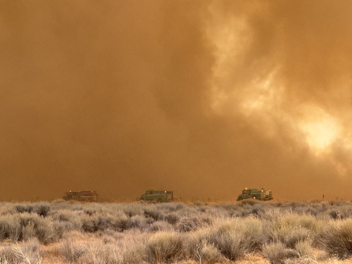
Public Safety Alert. An active wildfire is in the vicinity of the US Highway 6 and Laws/Silver Canyon area. An evacuation order is in place. Highway 6 is closed. An evacuation center is established at the Benton Community Center, situated at 58869 Highway 120 in Benton, CA
Earthquake of magnitude 4.9 - Southwest Indian Ridge
Earthquake of magnitude 5.2 - 67 km ESE of Fangale’ounga, Tonga
Earthquake of magnitude 4.8 - 93 km SE of Pangai, Tonga
7.0-magnitude offshore earthquake hits near Tonga. The US tsunami warning system initially said “hazardous tsunami waves from this earthquake are possible within 300 kilometres of the epicentre along the coasts of Tonga”
Earthquake of magnitude 4.8 - 92 km SE of Pangai, Tonga
Earthquake of magnitude 5.8 - 86 km SE of Pangai, Tonga
Earthquake of magnitude 4.9 - 82 km SE of Pangai, Tonga
Earthquake of magnitude 6.1 - 82 km SE of Pangai, Tonga
Earthquake of magnitude 4.8 - 60 km ESE of Fangale’ounga, Tonga
Earthquake of magnitude 4.8 - 90 km SE of Pangai, Tonga
Earthquake of magnitude 7.3 - 132 km SE of Pangai, Tonga
Earthquake of magnitude 7.3 - 127 km SE of Pangai, Tonga
Earthquake of magnitude 7.1 - 90 km SE of Pangai, Tonga
2.9 magnitude earthquake. 17 mi from Malibu, CA, United States
Earthquake of magnitude 4.9 - South Sandwich Islands region
Earthquake of magnitude 5.1 - 28 km NNW of Mandalay, Burma (Myanmar)
Earthquake of magnitude 5.1 - 12 km S of Banda Aceh, Indonesia
Earthquake of magnitude 4.7 - 75 km SSE of Katsuura, Japan
Myanmar's earthquake death toll jumps to 1,644 as more bodies are recovered from the rubble
Earthquake of magnitude 4.9 - Mid-Indian Ridge
Earthquake of magnitude 4.6 - 218 km W of Tual, Indonesia
Earthquake of magnitude 4.7 - 12 km SW of Zhaotong, China
Earthquake of magnitude 5.1 - 19 km SW of Nay Pyi Taw, Burma (Myanmar)
Casualties from earthquake in Mandalay, Myanmar. Earthquake casualties so far: Myanmar: 1,002 dead, 2,376 injured
Severe storms trapped residents in their homes, forced drivers to abandon their vehicles on flooded roads and shut down an airport. At least 4 people died
Earthquake of magnitude 5.2 - Mariana Islands region
Earthquake of magnitude 4.6 - 44 km SSE of Kushima, Japan
Earthquake of magnitude 4.7 - 268 km SE of Alo, Wallis and Futuna