Earthquake of magnitude 5.1 - 38 km ENE of Sibolga, Indonesia
Earthquake of magnitude 4.7 - 58 km E of Onagawa Chō, Japan
Earthquake of magnitude 5.3 - 58 km WSW of Merizo Village, Guam
Earthquake of magnitude 4.9 - Nicobar Islands, India region
Active Vegetation Fire incident reported in Hansen Dam, Los Angeles.
Earthquake of magnitude 5.0 - south of the Kermadec Islands
Earthquake of magnitude 4.7 - 183 km NNE of Colonia, Micronesia
Earthquake of magnitude 5.1 - 109 km ENE of Luganville, Vanuatu
Earthquake of magnitude 4.6 - 25 km E of Nusa Dua, Indonesia
Earthquake of magnitude 4.9 - 67 km SSE of Yonakuni, Japan
Earthquake of magnitude 5.7 - 57 km SSE of Koshima, Japan
Earthquake of magnitude 4.6 - 78 km WNW of Puro Pinget, Philippines
Earthquake of magnitude 4.7 - 151 km S of Pundong, Indonesia
Earthquake of magnitude 4.9 - 49 km S of Acajutla, El Salvador
 1 year ago
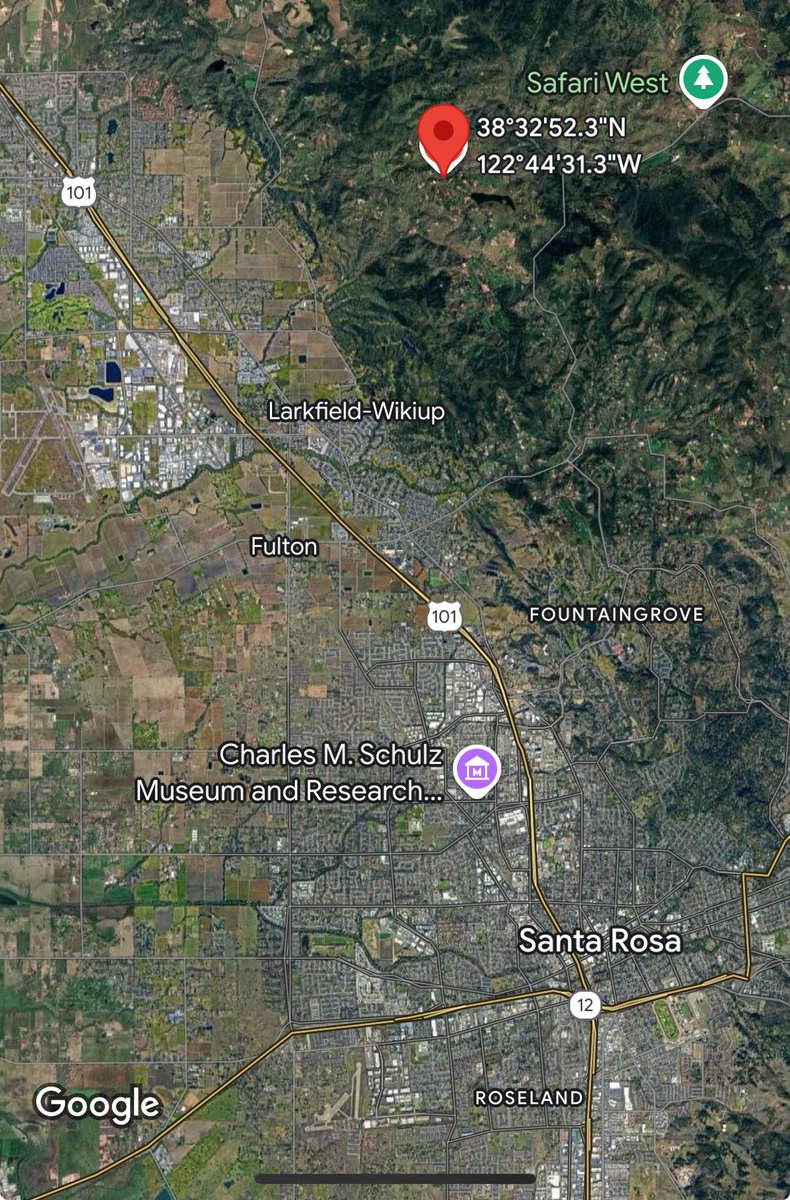
ShilohFire: CAL FIRE and local agencies are responding to a vegetation fire near Shiloh Ridge Road and Shiloh Terrace, north of Santa Rosa. The fire is approximately 1-2 acres, burning in grass at a slow rate of spread. A full wildland dispatch has been initiated by CAL FIRE
AirportFire : Long-term Care and Reception Shelter Location Change and Animal Services Location Change:The long-term care and reception shelter at the Rancho Santa Margarita Bell Tower Regional Community Center located (22232 El Paseo) will close at noon today
A new long-term care and reception shelter has been established at Saddleback Church, located at 1 Purpose Drive in the City of Lake Forest. Care and reception will begin at noon today. Saddleback Church is able to co-locate pets
Earthquake of magnitude 4.7 - 96 km E of Finschhafen, Papua New Guinea
Earthquake of magnitude 4.9 - 274 km NNE of Saga, China
Earthquake of magnitude 4.7 - 153 km ESE of Sarangani, Philippines
Earthquake of magnitude 4.6 - 145 km S of Pundong, Indonesia
Earthquake of magnitude 4.8 - 28 km NW of Vilcanchos, Peru
Earthquake of magnitude 4.6 - western Xizang
 1 year ago
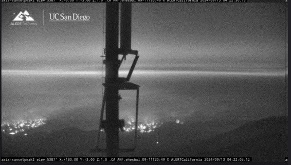
The Bridge Fire- LA County ( Angeles National forest ) 51,791.8 acres actively burning. Live shots as of 4:27 Am( 9/13 /24) from the Cal Fire cameras. Additional Cal Cameras in the Area have gone down
Earthquake of magnitude 4.6 - 297 km S of Aqqan, China
Earthquake of magnitude 4.7 - 248 km E of Port Blair, India
Earthquake of magnitude 5.0 - east of the North Island of New Zealand
Earthquake of magnitude 5.1 - 150 km SE of Sarangani, Philippines
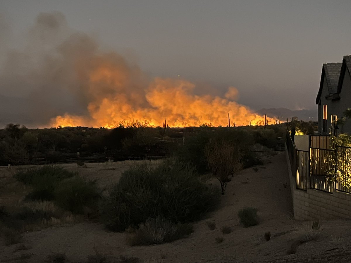
Firefighters get upper hand on Gate Fire near north Scottsdale homes
 1 year ago
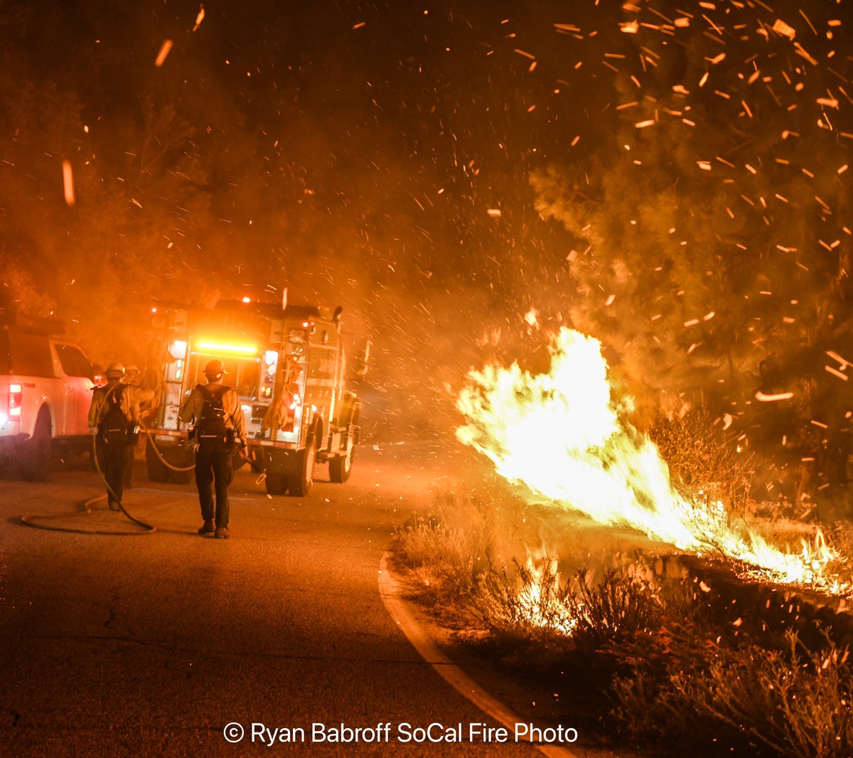
East Fork over Highway 2 and down into Wrightwood. Crews tried to protect the fire from spreading that night but the weather had other plans.
Historic cabins built in the early 1900s are destroyed in the Airport Fire
Earthquake of magnitude 4.6 - 15 km ESE of Hualien City, Taiwan
Evacuation warnings have been lifted for the following zones: * Via Vista Grande * Clinton Keith * Calle Bandido, Avenida La Cresta, Via Majorca * San Diego County / Riverside County LineAll other evacuation orders and warnings remain in effect.
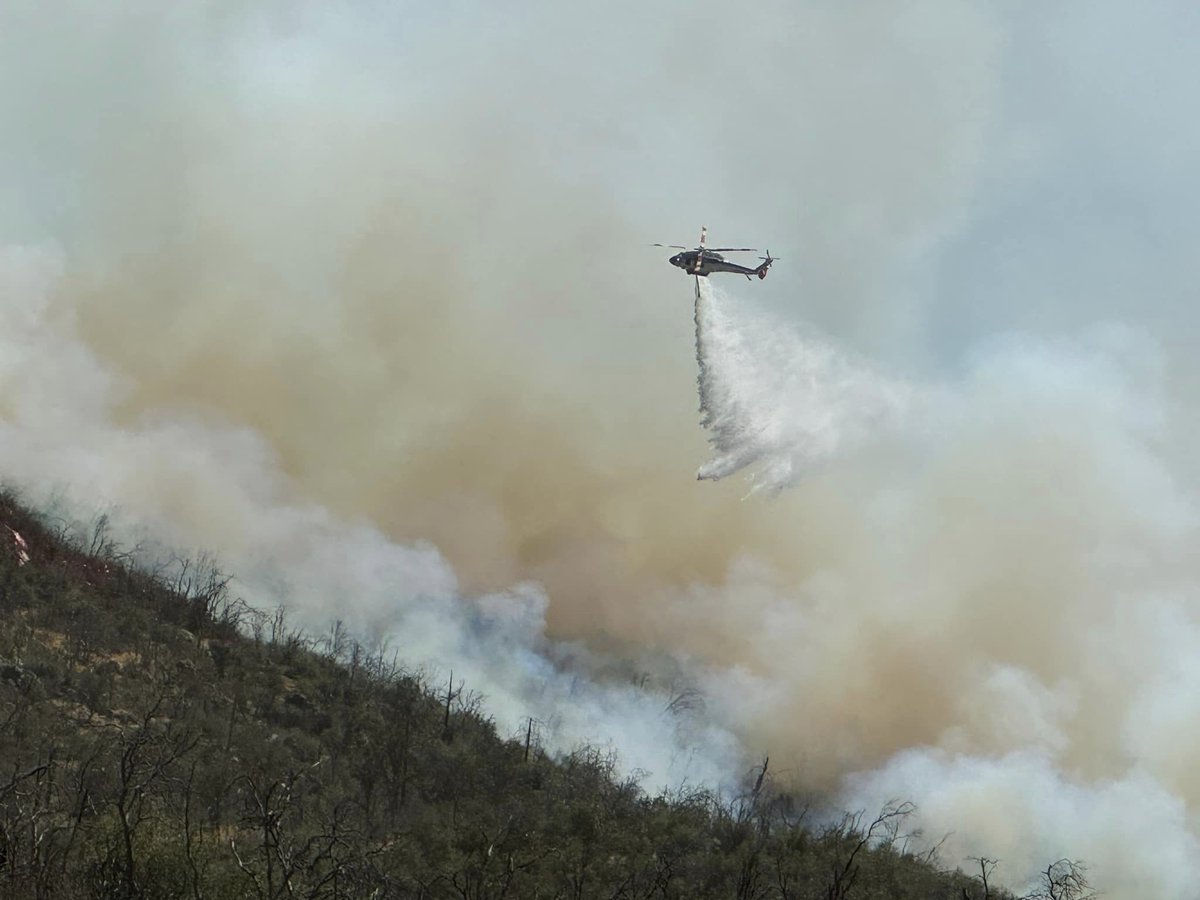
The Airport Fire is currently at 23,410 acres with 5% of it contained.linefire breakingnews BridgeFire Wildfire ForestFire AirportFire Fire California
 1 year ago
CAL FIRE said the QuincyFire burned about 85 acres and is 30% contained.
 1 year ago
The Gate Fire continues to burn tonight in North Scottsdale. It’s burning away from homes, but has grown to between 80-100 acres as per @ScottsdaleFire
The AirportFire is currently at 23,410 acres with 5% of it contained. Evacuation levels have been downgraded in both Orange and Riverside Counties. Firefighters are actively working to reinforce containment lines southwest of the fire.
A flare-up occurred in an unburned pocket north of Trabuco Canyon, but it remains within the fire's existing perimeter. Crews are conducting reconnaissance along the Santiago Peak fire lines, and heavy equipment operators are constructing a dozer line toward Ortega Highway
Orange County: Mandatory evacuation orders for the Robinson Ranch community have been downgraded to voluntary evacuation warnings, effective immediately. Road closures remain,and resident-only access is permitted for Plano Trabuco Road at Joshua Drive and
 1 year ago
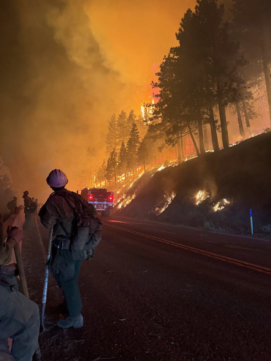
Nevada: Rifle Peak handcrew working with Black Mountain Hotshots during a burn for the Davis Fire.
Earthquake of magnitude 4.7 - 44 km ESE of Calama, Chile
Earthquake of magnitude 5.2 - Izu Islands, Japan region
Earthquake of magnitude 4.7 - 76 km WNW of Puro Pinget, Philippines