Earthquake of magnitude 4.6 - central Mid-Atlantic Ridge
Earthquake of magnitude 5.0 - central Mid-Atlantic Ridge
Earthquake of magnitude 4.7 - 276 km SSE of Ushuaia, Argentina
Earthquake of magnitude 4.9 - 79 km SW of Donggang, Taiwan
Earthquake of magnitude 4.9 - central Mid-Atlantic Ridge
Thunderstorms continue drifting into South Alabama this afternoon
Officials say there were more than 17,000 customers without powers in the area of the storm
Earthquake of magnitude 5.6 - 30 km N of Finschhafen, Papua New Guinea
Earthquake of magnitude 4.9 - central Mid-Atlantic Ridge
Earthquake of magnitude 5.0 - central Mid-Atlantic Ridge
Earthquake of magnitude 5.0 - central Mid-Atlantic Ridge
Earthquake of magnitude 4.8 - central Mid-Atlantic Ridge
Earthquake of magnitude 5.3 - central Mid-Atlantic Ridge
Earthquake of magnitude 4.8 - central Mid-Atlantic Ridge
Earthquake of magnitude 5.1 - 275 km NE of Saipan, Northern Mariana Islands
Earthquake of magnitude 4.7 - 133 km SW of Jiquilillo, Nicaragua
Earthquake of magnitude 5.0 - central Mid-Atlantic Ridge
Earthquake of magnitude 4.7 - 123 km SSE of Shimoda, Japan
Earthquake of magnitude 4.6 - 83 km NNE of San Martín, Argentina
Tree limbs blocking roads. This is Schiller Avenue on the Cleveland/Parma Border
 1 year ago
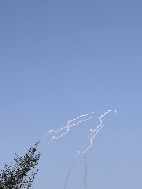
San. Bernardino: County Fire on scene of VEGETATION FIRE on Highland Ave. near California St. Fire burning in light fuels between Highland Ave and the 210 Freeway. No structure threat, but smoke bumping up along freeway.
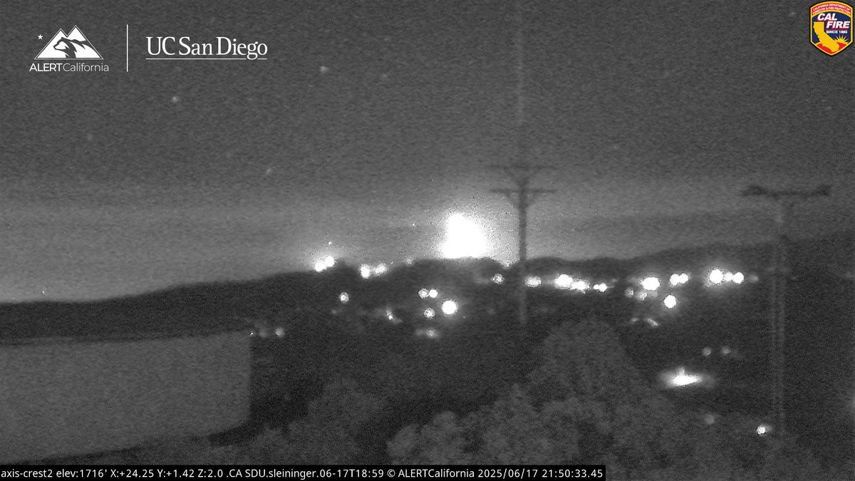
Somersville Fire : Officials have set up an evacuation point and one person has been transported to a nearby hospital for minor injuries
Earthquake of magnitude 4.6 - 35 km SE of Mountain, Colombia
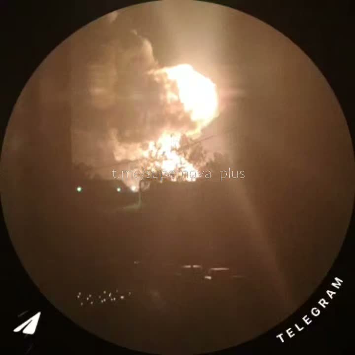
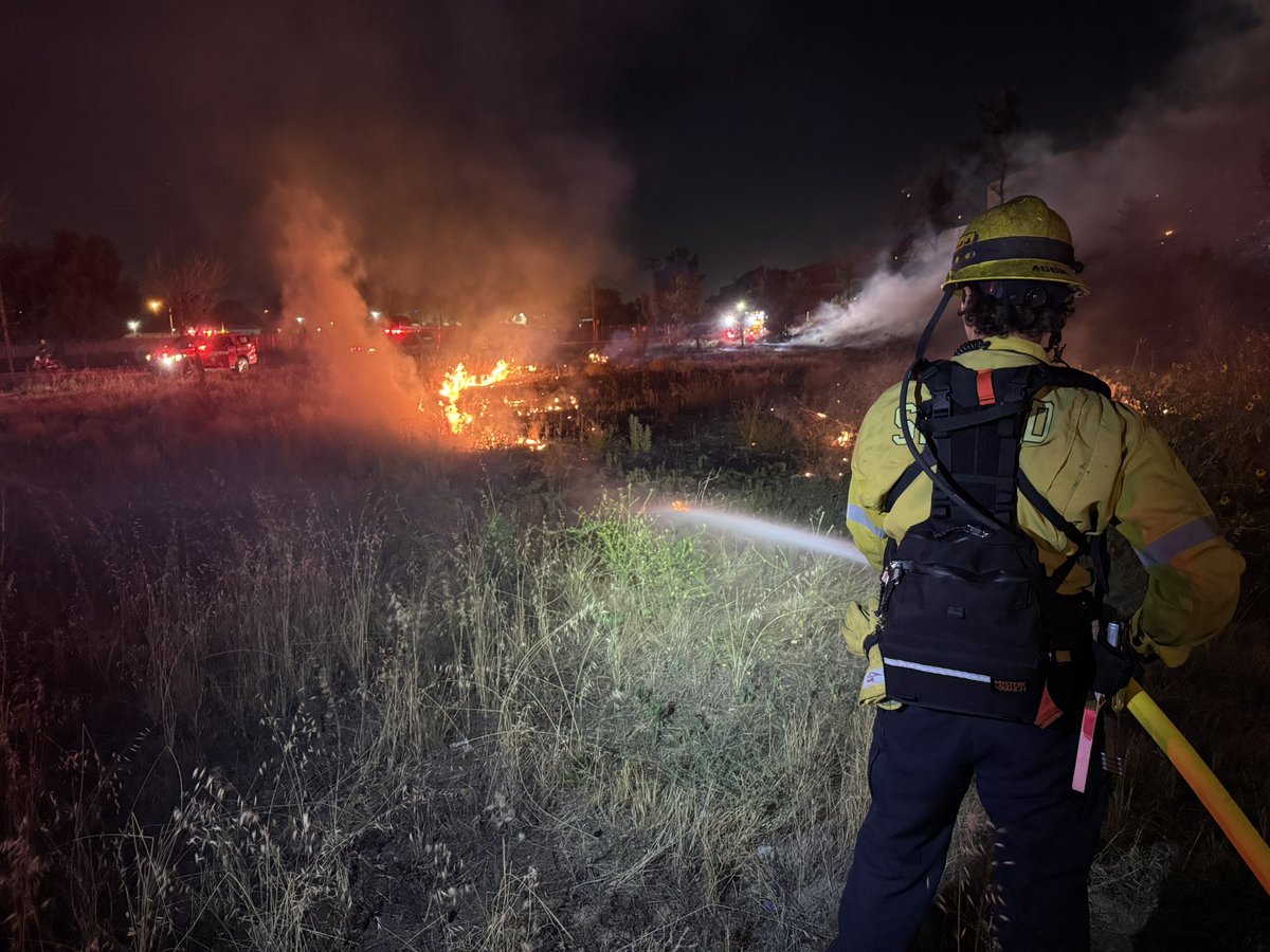
Fire crews are tackling a vegetation blaze in Antioch that has reached 150 acres Wednesday night, the Contra Costa County Fire Protection District said
CAL FIRE is responding to a 2-alarm brush fire burning near Antioch off of Somersville Road
Earthquake of magnitude 5.9 - 107 km SE of Nemuro, Japan
 1 year ago
MonteFire Aircraft Assisting.Air Attack 330, Air Tankers 70, 72.Copters 8PJ, 9HT, 128, 609.CalFire Intel 461 and Air Tankers 74, 78 are enroute.MonteFire The Fire was last Mapped at 312 acres but is likely larger than that now.
Earthquake of magnitude 4.6 - 46 km N of Fangale’ounga, Tonga
The death toll continues to rise in West Virginia after a historic flash flood
Earthquake of magnitude 5.1 - 238 km WSW of Riverton, New Zealand