Earthquake of magnitude 4.9 - Pagan region, Northern Mariana Islands
Earthquake of magnitude 5.9 - 285 km WSW of Houma, Tonga
 1 year ago
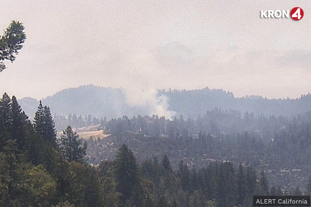
Wildfire ignites Friday in Santa Cruz Mountains
Earthquake of magnitude 4.6 - 230 km ENE of Port Mathurin, Mauritius
Magnitude 6.6 earthquake struck off the coast of northern Chile
Earthquake of magnitude 6.4 - 52 km WSW of Diego de Almagro, Chile
Earthquake of magnitude 6.5 - 107 km WSW of Diego de Almagro, Chile
Earthquake of magnitude 4.7 - 92 km SW of Kokopo, Papua New Guinea
Earthquake of magnitude 4.7 - 285 km N of Tobelo, Indonesia
Earthquake of magnitude 4.6 - south of the Fiji Islands
2.7 magnitude earthquake. 39 mi from Ferndale, CA, UnitedStates
Earthquake of magnitude 4.8 - 41 km SSW of Caliente, Nevada
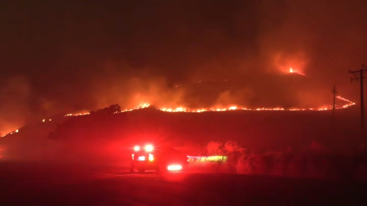
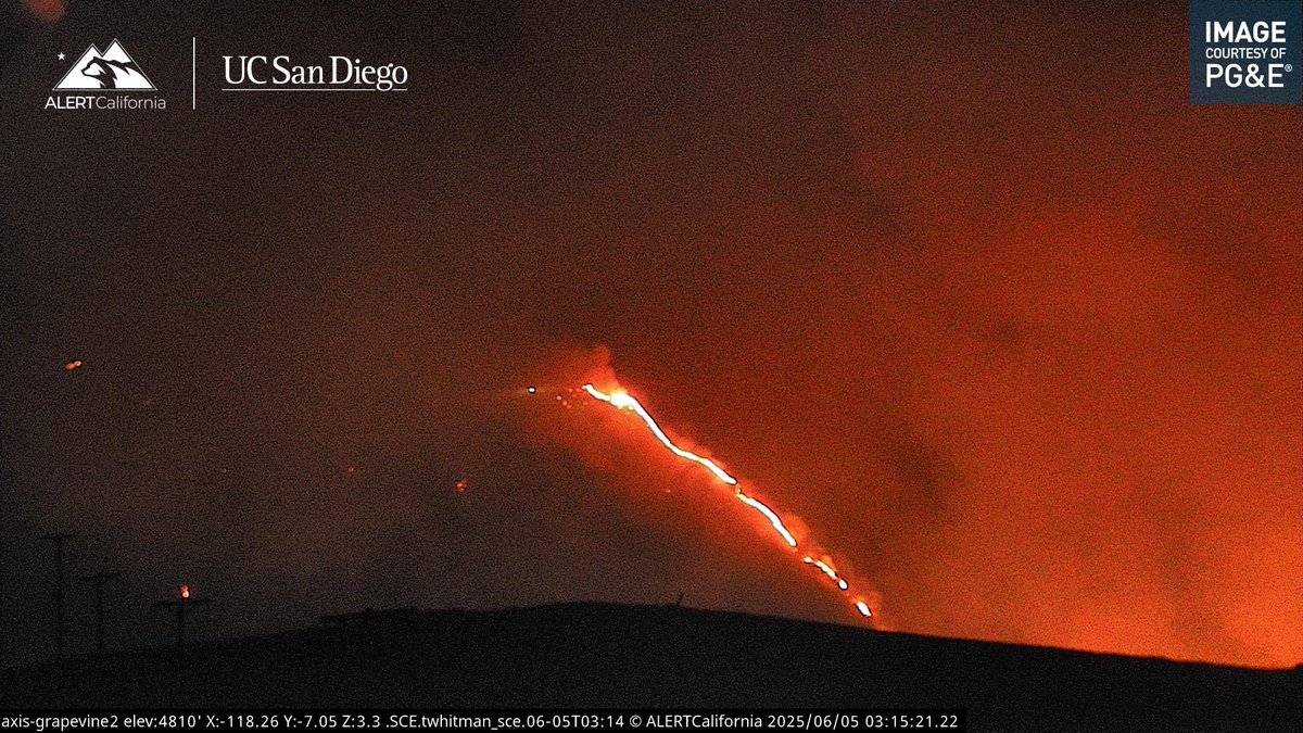
The Fort Fire along Interstate 5 burned 240 acres and is 33% contained as of Thursday evening, according to Cal Fire
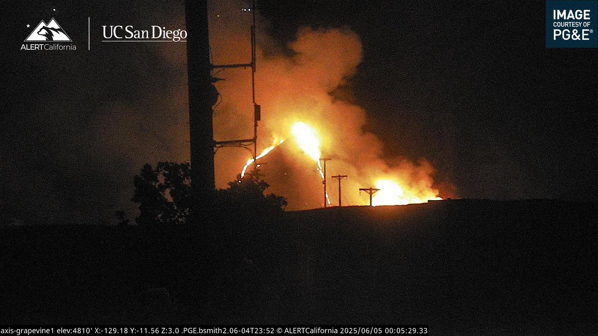
Kern County firefighters are battling the so-called "Jack Fire' off Highway 46, which is at 50 acres, said the department
Tornado on the ground moving towards populated Lubbock, Texas; sirens sounding
Earthquake of magnitude 4.7 - South Sandwich Islands region
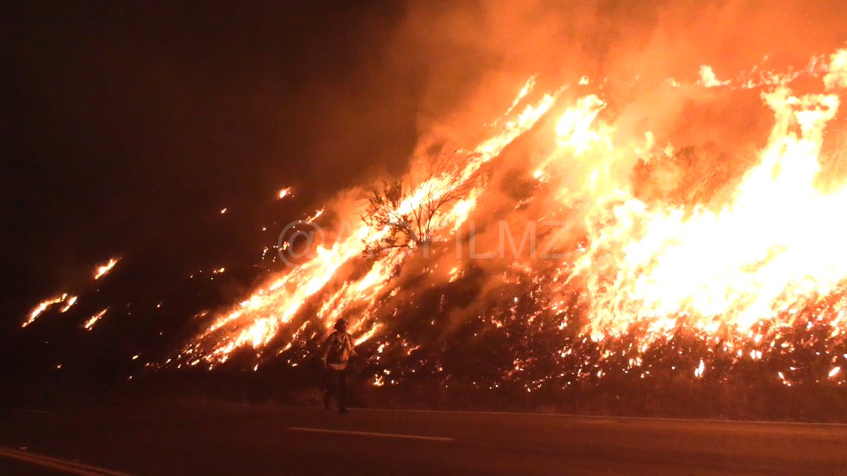
Fort fire growing in Grapevine triggers evacuation warnings near Interstate 5
Hardly any smoke or flame visible here but this is still an active fire. The Fort Fire is now at 220 acres but only 5% contained. The SB 5 here headed into the Grapevine still has a RT lane shut down
Earthquake of magnitude 4.7 - 63 km E of Sōma, Japan
 1 year ago
Crews in the Crockett area knocked down a 10-acre brush fire near an oil refinery early this morning
 1 year ago
Crockett, CA: Multiple agencies in Contra Costa County responded to a large vegetation fire along San Pablo Ave near Cummings Skyway in the Crockett-Rodeo area. Firefighters reported the fire to have moderate rate of spread due to winds. Firefighters have forward progress stopped
Earthquake of magnitude 5.0 - 15 km WSW of Kimbe, Papua New Guinea
Earthquake of magnitude 4.7 - 1 km S of San Sebastian, Philippines
 1 year ago
FortFire KCFD Copter 407 is enroute and should be overhead in the next 5 minutes.FortFire OES Intel 24 has Mapped the Fire at 133 acres, Zone KRN-535 remains under and Evacuation Warning.KCFD Copter 407 has been requested for night flying
3.6 magnitude earthquake. 99 mi from CrescentCity, CA, UnitedStates
Earthquake of magnitude 4.6 - 132 km SSE of Sarangani, Philippines
 1 year ago
New Brush Fire Fort Tejon Road/S I-5, Grapvine, Kern County.5 acres running uphill
Earthquake of magnitude 4.7 - 35 km NW of Mýrina, Greece
Earthquake of magnitude 4.9 - 63 km NW of Ocampo, Mexico
Earthquake of magnitude 5.7 - 299 km SW of Arenas, Panama