Earthquake of magnitude 4.9 - 281 km NE of Hadibu, Yemen
Earthquake of magnitude 5.2 - central East Pacific Rise
Carrizo5Fire The fire's size is mapped at 8.6 acres
Earthquake of magnitude 4.7 - 201 km WSW of Tofino, Canada
Earthquake of magnitude 4.9 - 204 km SW of Port McNeill, Canada
2.9 magnitude earthquake. 11 mi from Coronado, CA, United States
 1 year ago
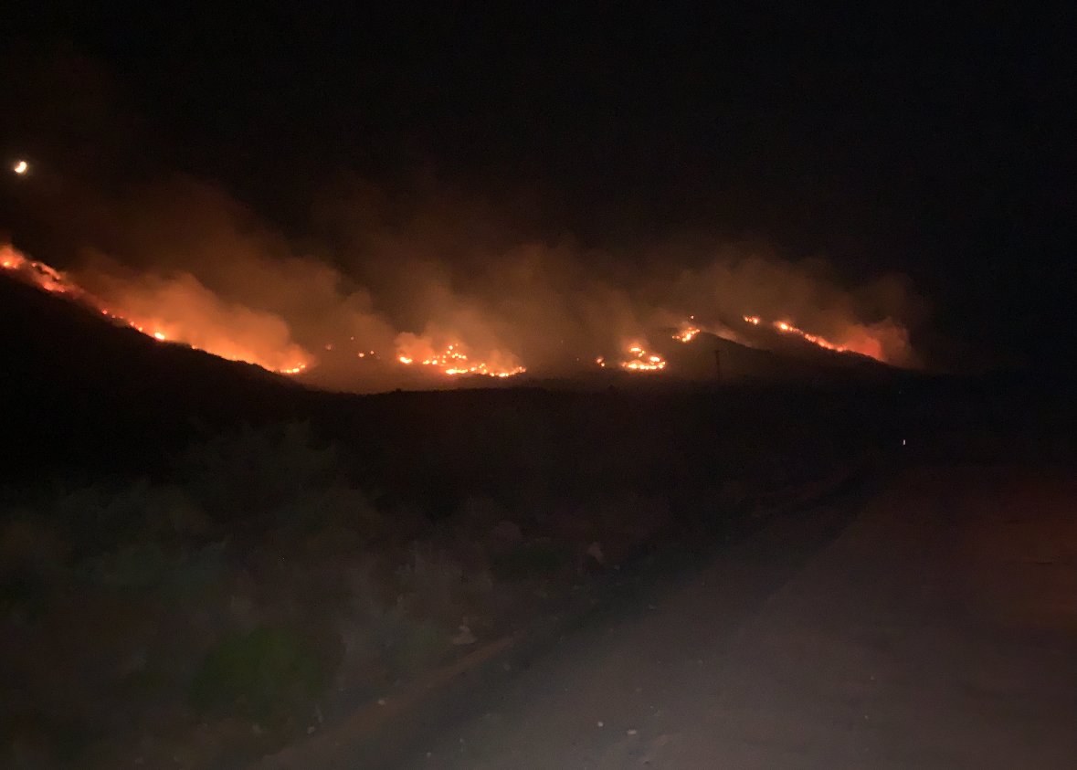
1200 ac. AZFire AZForestryHillsideFire - fire stayed very active overnight and currently estimated at 600 ac. Overnight shift worked to protect structures and infrastructure. Fire remains active on all sides as of this morning.
 1 year ago
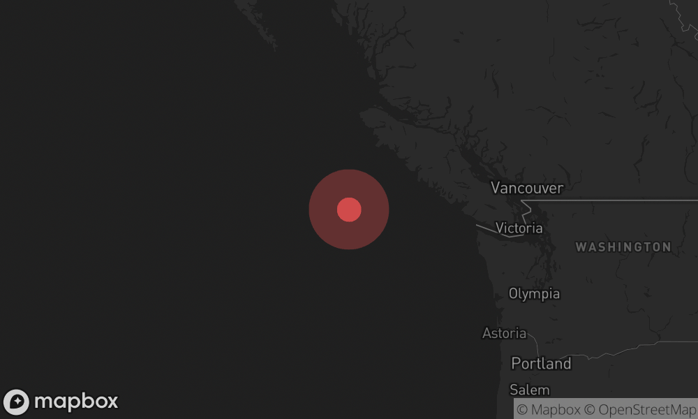
A 6.4 magnitude earthquake occured at 209 km WSW of Tofino, Canada.
As of Thursday morning, more than 1 million electricity customers in Houston are still without power after Hurricane Beryl hit Texas largest city on Monday
 1 year ago
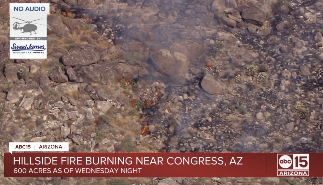
'Hillside Fire' burning near Congress, Arizona:
Earthquake of magnitude 4.7 - 76 km SW of Modisi, Indonesia
Earthquake of magnitude 5.0 - 150 km W of Tofino, Canada
Earthquake of magnitude 5.4 - 187 km W of Tofino, Canada
Earthquake of magnitude 6.4 - 209 km WSW of Tofino, Canada
Earthquake of magnitude 6.5 - 219 km WSW of Tofino, Canada
Earthquake of magnitude 6.6 - 215 km WSW of Port McNeill, Canada
Earthquake of magnitude 6.6 - 215 km WSW of Port McNeill, Canada
Earthquake of magnitude 4.6 - 7 km WNW of Belén, Nicaragua
Earthquake of magnitude 5.4 - 120 km SSW of Merizo Village, Guam
 1 year ago
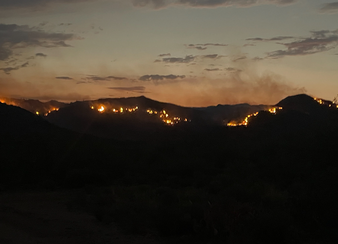
600 acres per fire operations. Fire behavior has moderated, but remains active on east side near Hillside Road. Crews conducting firing ops along NE flank of fire as part of structure protection to the mine.
Residences in the Congress area have been placed on SET evacuation status due to the Hillside Fire. The fire has reportedly burned 100 acres
Earthquake of magnitude 4.9 - 10 km NW of Nyūzen, Japan
Earthquake of magnitude 4.8 - 9 km ENE of Honoria, Peru
Earthquake of magnitude 6.9 - 95 km WSW of Sangay, Philippines
Earthquake of magnitude 7.1 - 106 km WSW of Sangay, Philippines
Earthquake of magnitude 5.0 - South Sandwich Islands region
Leona Valley. 2nd alarm brush fire. Lonesome Valley and Lost Valley Ranch. WoodlandFire. LASD en route to establish an evacuation plan in the event it becomes necessary
Leona Valley. 2nd alarm brush fire. Lonesome Valley and Lost Valley Ranch. WoodlandFire. BC22 is now IC. Potential is 50 acres in the next hour with a potential threat to structures. Currently sitting on 5 acres
 1 year ago
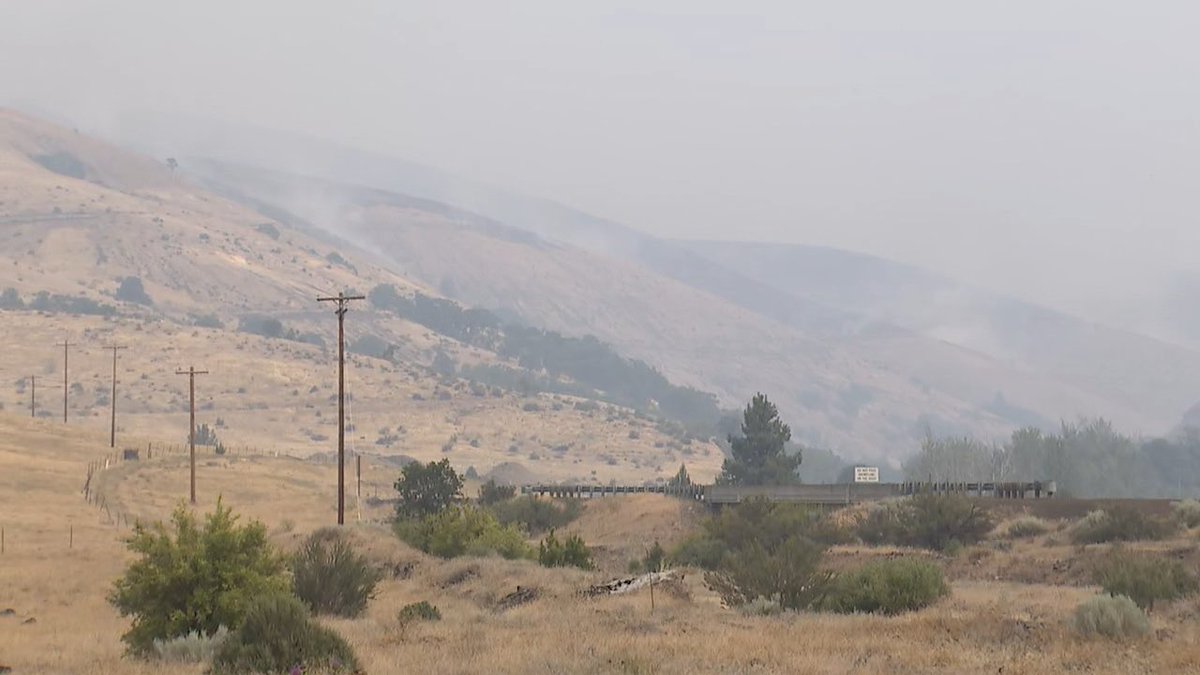
A wildfire is burning south of The Dalles. It's already burned 7,000 acres.
Leona Valley. 2nd alarm brush fire. Lonesome Valley and Lost Valley Ranch. WoodlandFire. Staging at Leona Avenue and 107th Street West. ANF en route with a full first alarm
Leona Valley. 2nd alarm brush fire. Lonesome Valley and Lost Valley Ranch. WoodlandFire. Copter requesting fixed wing aircraft
Earthquake of magnitude 4.8 - 214 km SW of Bengkulu, Indonesia
Earthquake of magnitude 5.1 - southern Mid-Atlantic Ridge
 1 year ago
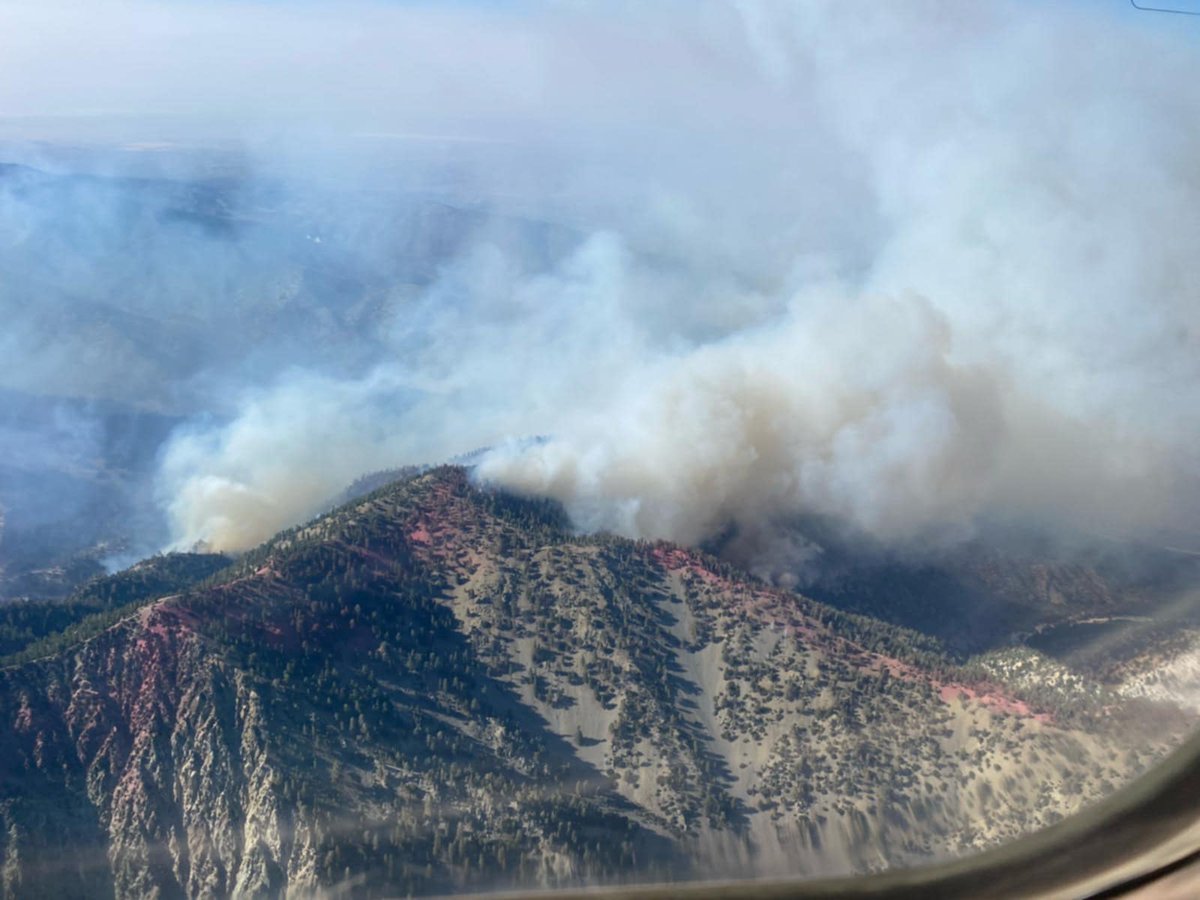
VistaFire 7-724, :2354 acres 0% containment. Excessive heat and dry fuels continue to dictate fire behavior
 1 year ago
FoothillFire SanBernardino This one is pretty much done.Agencies are responding to a brush fire named the FoothillFire @ Foothill/Sterling. 3-5 acres burning in light fuels with a moderate rate of spread and no immediate structure threat.
Earthquake of magnitude 5.4 - 220 km SW of Bengkulu, Indonesia