Earthquake of magnitude 4.8 - 237 km NNE of Hicks Bay, New Zealand
 1 year ago
Ships cannot move along the Don in the Rostov region due to shallowing of the river
 1 year ago
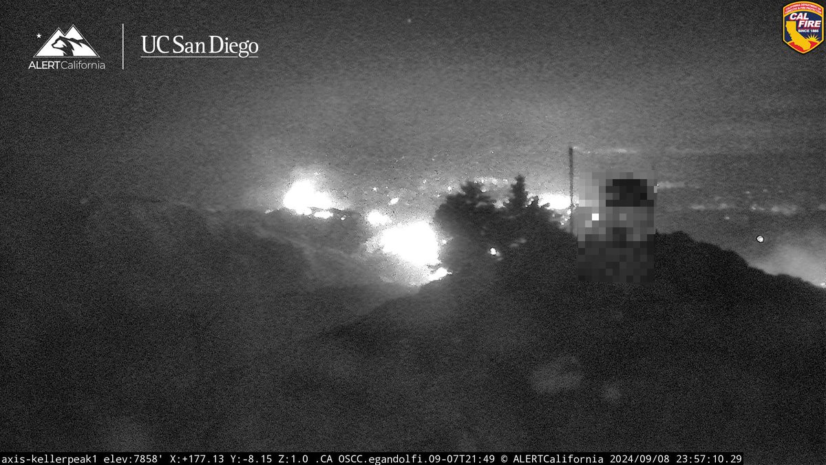
Linefire still shining Bright as midnight is here. This free continues to remain active over night cafire wildfire
 1 year ago
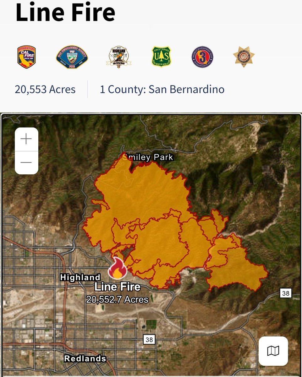
LineFire Highland, Southern California in San Bernardino County. 20,553 acres burnt. More than 36,000 homes and structures threatened. 0% containment
 1 year ago
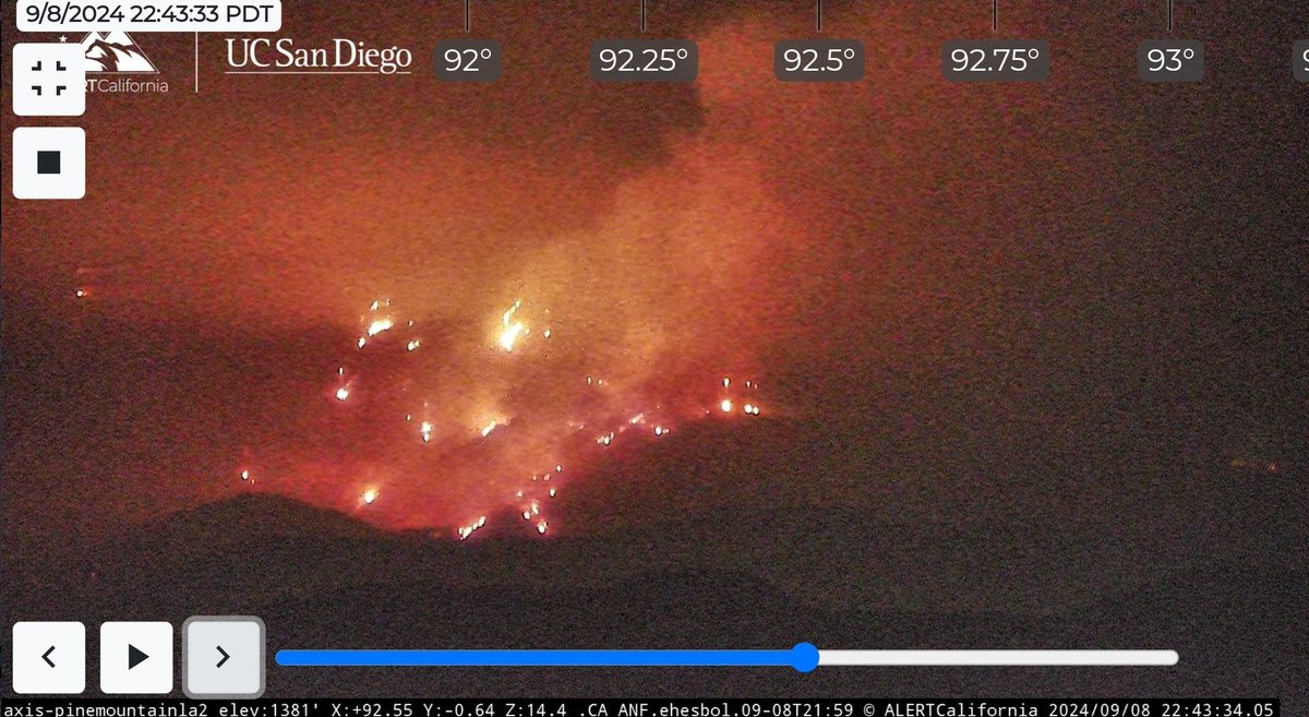
BridgeFire view from Pine Mountain cam.
 1 year ago
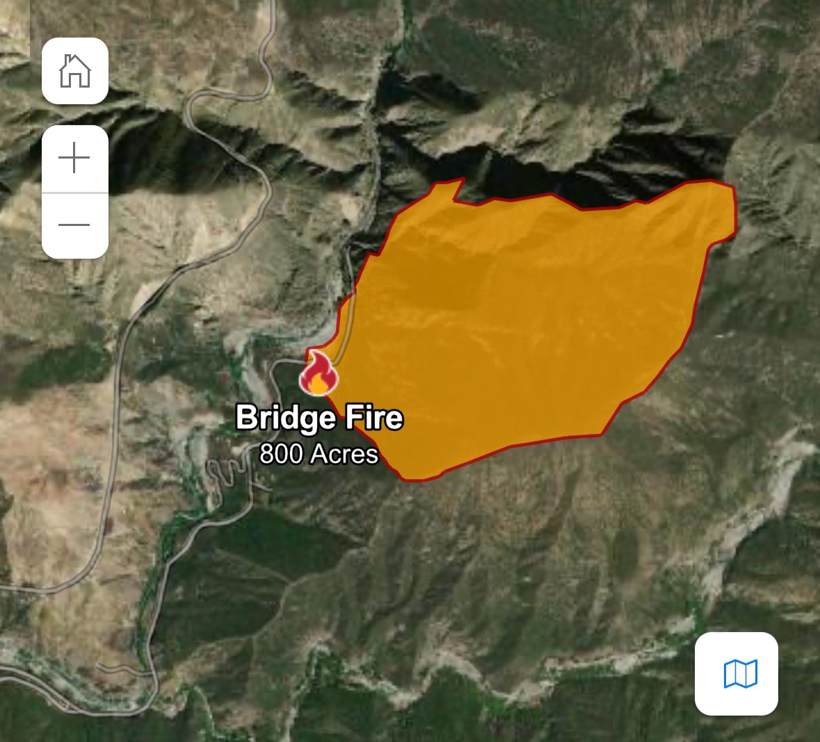
Fire Watch 51 has the BridgeFire mapped at 820 acres.There were 2 helicopters dropping water but they had to leave because visibility was too low.A 30x30 spot fire was reported on Shoe Maker Rd.The BridgeFire was estimated at 800 aircraft is over the fire
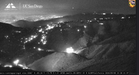 1 year ago
The Line Fire- San Bernardino county - San Bernardino National Forest 20,533 acres actively burning.
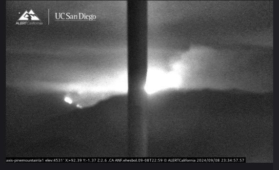 1 year ago
The Bridge Fire- LA County ( Angeles National forest ) 820 acres actively burning.
Earthquake of magnitude 4.8 - 109 km S of Yudomari, Japan
Earthquake of magnitude 5.0 - Mid-Indian Ridge
The LineFire is now 20,553 acres, 0% containment. There are currently 36,328 structures threatened. Governor Newsom has proclaimed a State of Emergency in San Bernardino County, securing federal assistance to support response to the Line Fire.
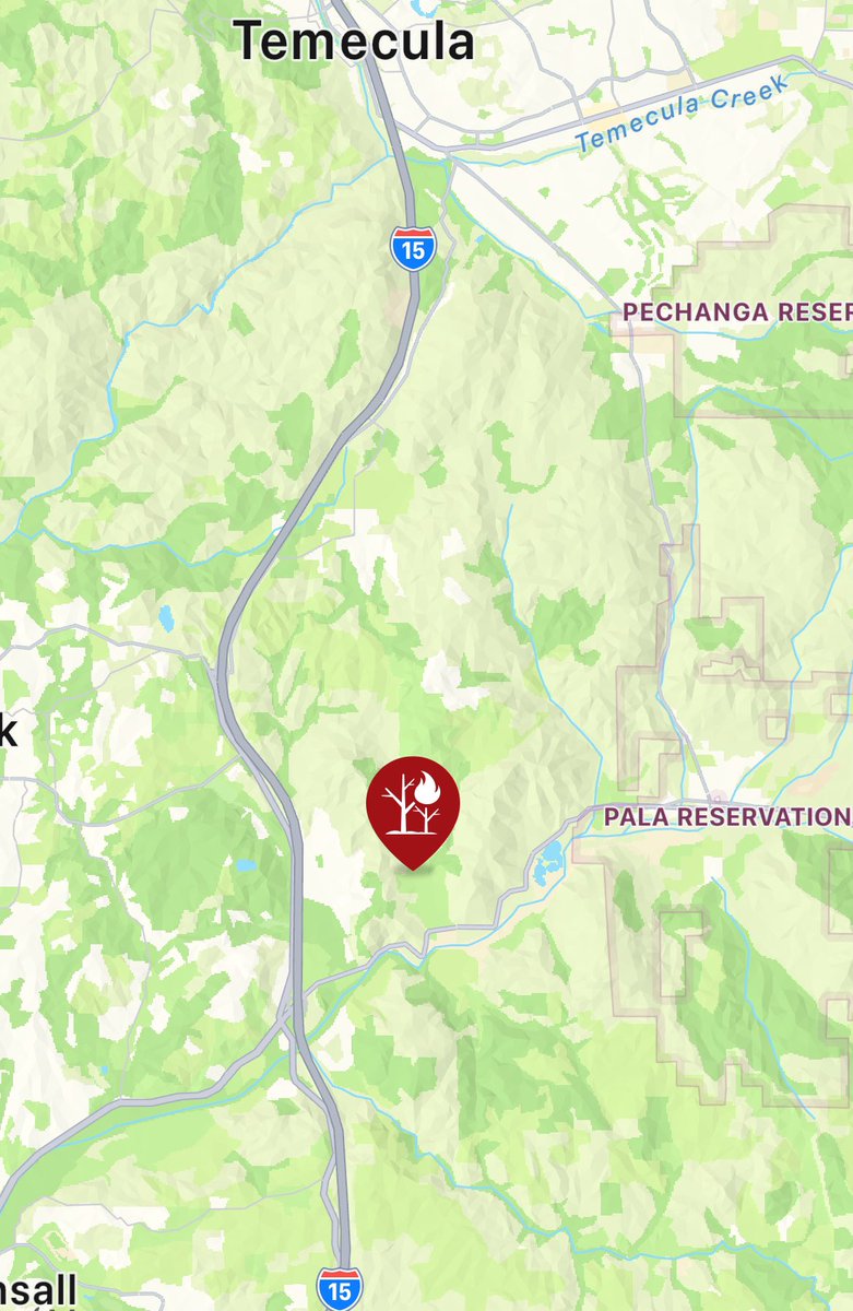
Rice2Fire. The fire has spread to 5 to 10 acres and is moving slowly, holding at a ridge. There is no current threat to structures
Rice2Fire The fire has spread to 5 to 10 acres and is moving slowly, holding at a ridge. There is no current threat to structures
Dozens of acres are burning in a wildfire in Clearlake, prompting mandatory evacuations as the fast-moving fire threatens structures
 1 year ago
@CALFIRESANDIEGO is at scene of a vegetation fire north of Highway 76 near Rice Canyon Road in the community of Pala Mesa. The fire is currently one acre with a slow rate of spread and has the potential to grow to ten acres.
BridgeFire Wildfire has increased to approximately 800 acres with 0% containment. Evacuation: East Fork communities of Camp Williams & River Community Road Closures: HWY 39, East Fork Rd, Glendora Mtn Rd, and Glendora Ridge Rd
Crews are on scene of a vegetation fire in the area of the 35000 block of Rice Canyon Road in Fallbrook
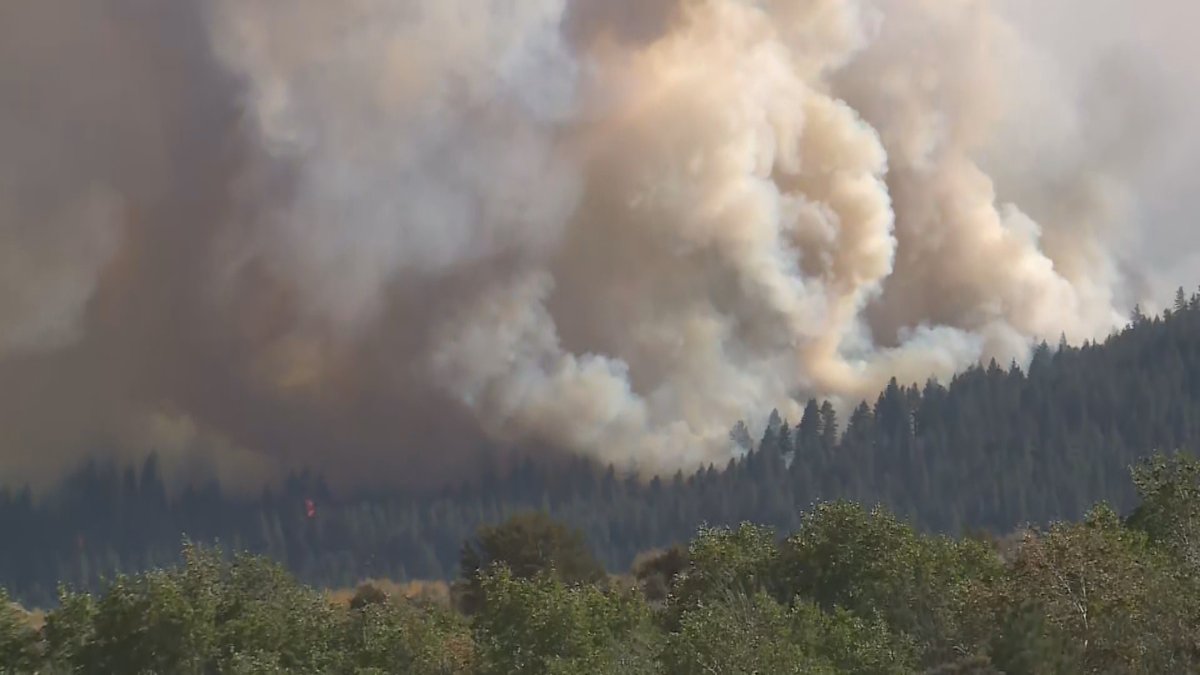
Davis Fire News ReleaseSunday, September 8, 2024 @ 7 p.m.Fire Information: Davis Fire is estimated to be approximately 6,500 acres and zero percent contained. The fire started in the area of Davis Creek Regional Park, located in Washoe Valley
 1 year ago
Truckee Meadows Fire and Rescue says the DavisFire has now burned an estimated 6,500 acres and is 0% contained as of Sunday evening. Officials are expected to release more details shortly
The BoylesFire burning in Clearlake is 76 acres and 10% contained. There are approximately 30 structures involved with fire and around 4,000 residents displaced in the evacuation zones (CLE-E148, CLE-E157). CAL FIRE remains an assisting agency to the Lake County FPD
Visitors evacuated from Angeles National Forest as BridgeFire grows to more than 92 acres north of Azusa
BoylesFire in Lake County has burned about 76 acres and about 30 structures involved, Cal Fire says
Earthquake of magnitude 5.2 - 18 km ENE of Ambunti, Papua New Guinea
Earthquake of magnitude 5.1 - South Sandwich Islands region
 1 year ago
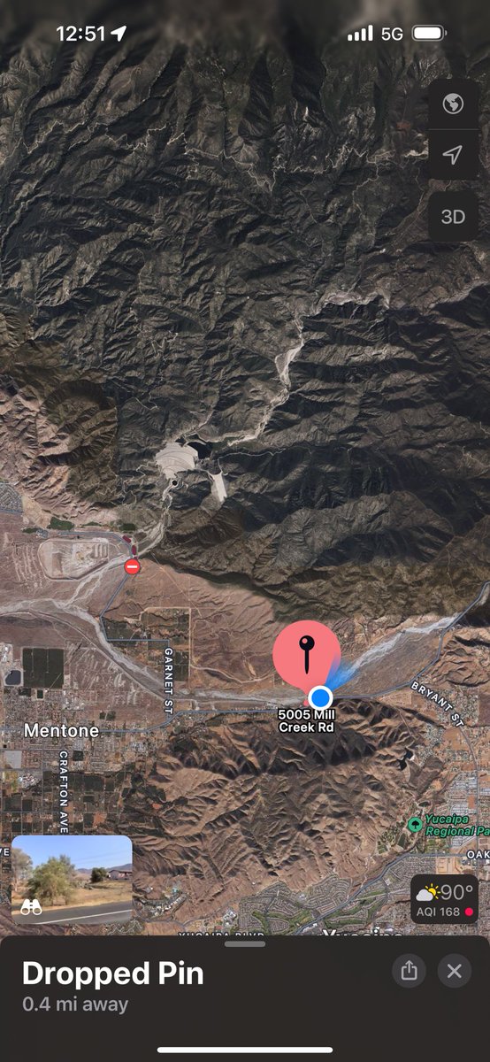
LineFire flames coming over the ridge from hwy 38
Perking back up. Again fish hatchery rd is in its path along highway 38
Earthquake of magnitude 4.9 - 6 km NW of Sulangan, Philippines
 1 year ago
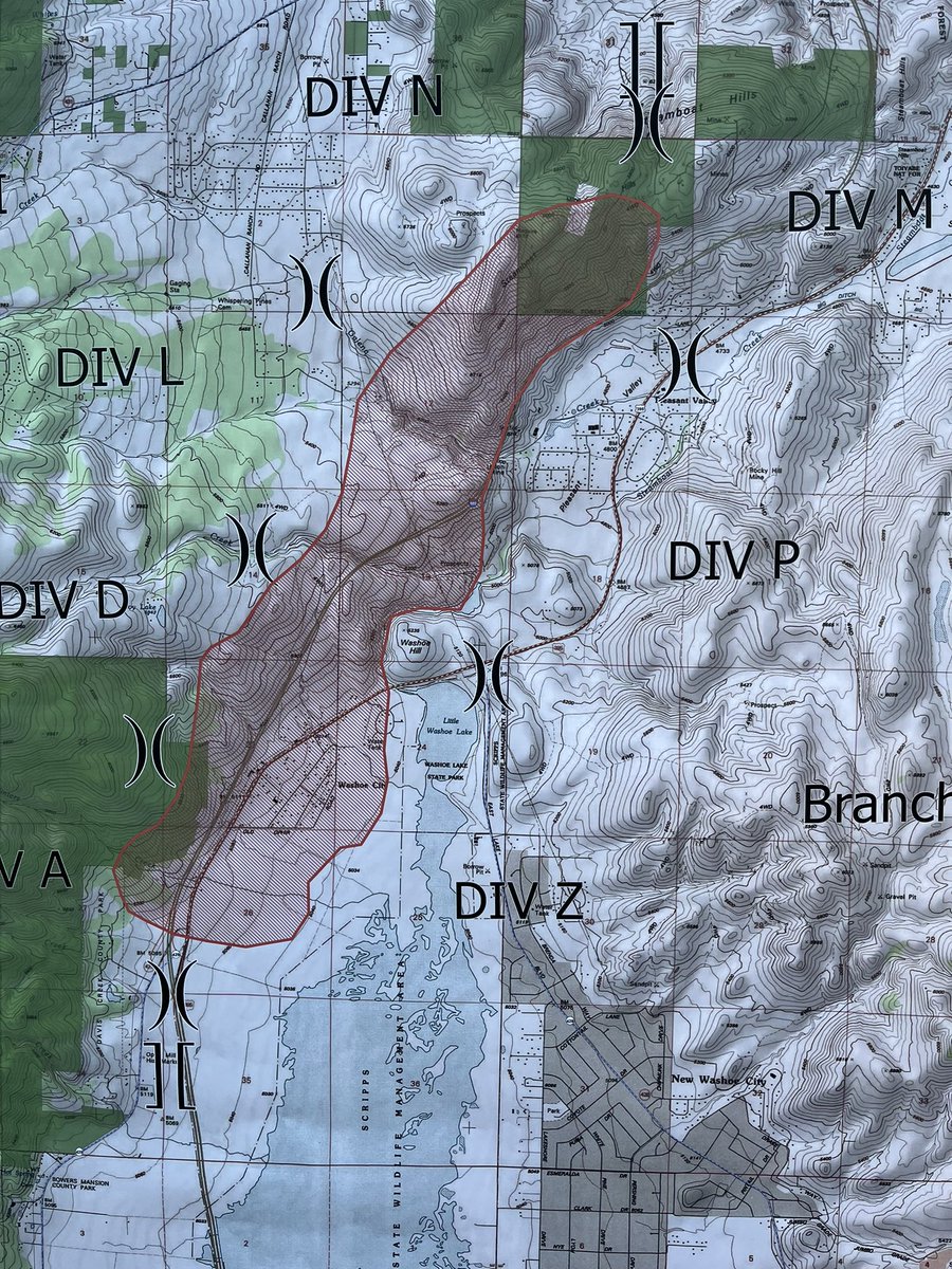
Here's current mapping of the DavisFire in Washoe Valley which has burned roughly 1,500 acres. I-580 has reopened in both directions between Damonte Ranch and College Parkway
 1 year ago
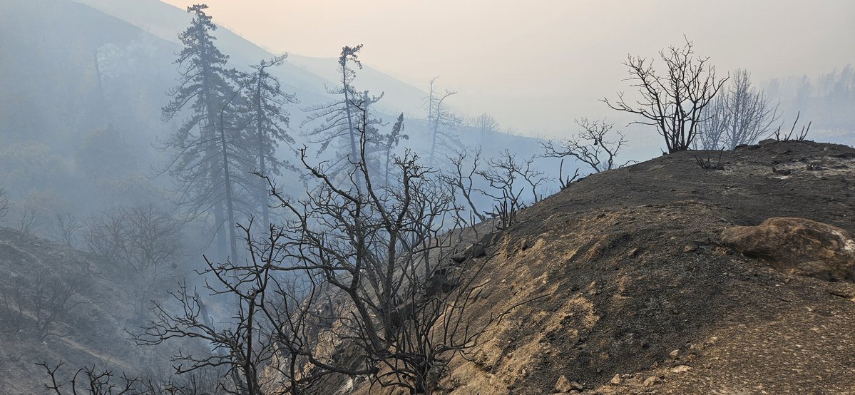
Fire damage from the LineFire on the 330 heading up to Running Springs. As of now, officials say no homes damaged from fire
LineFire burning on Harrison Mtn prior to jumping Hwy 330
Earthquake of magnitude 5.3 - 47 km E of Lata, Solomon Islands
Multiple communities are under evacuation orders due to exploding Line Fire - now 17,000 acres burned between Highland and Running Springs
Earthquake of magnitude 4.6 - 61 km SSE of Pondaguitan, Philippines
Earthquake of magnitude 4.9 - 207 km SE of Atlasovo, Russia
Earthquake of magnitude 4.7 - 1 km ENE of Carmen, Philippines
Earthquake of magnitude 4.8 - 25 km NNE of Tinogasta, Argentina
The LinFire has been mapped at 17,237 acres by @FIRIS Intel 12
San Bernardino, CA: The Line Fire in San Bernadino National Forest has grown from 3,833 acres to 7,122 acres
LineFire A new evacuation shelter has just been opened at the San Bernardino County Fairgrounds. Building 614800 7th Street Victorville, CA
Gov. Newsom has proclaimed a state of emergency in San Bernardino to help crews battling the LineFire which has grown to more than 7,100 acres
 1 year ago
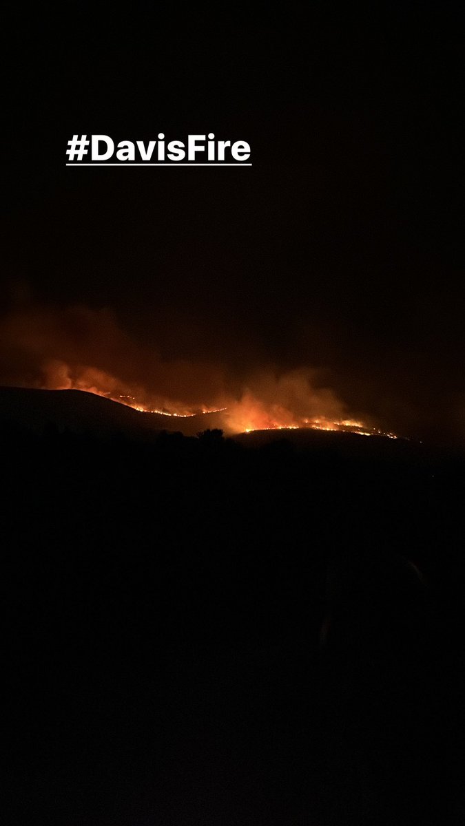
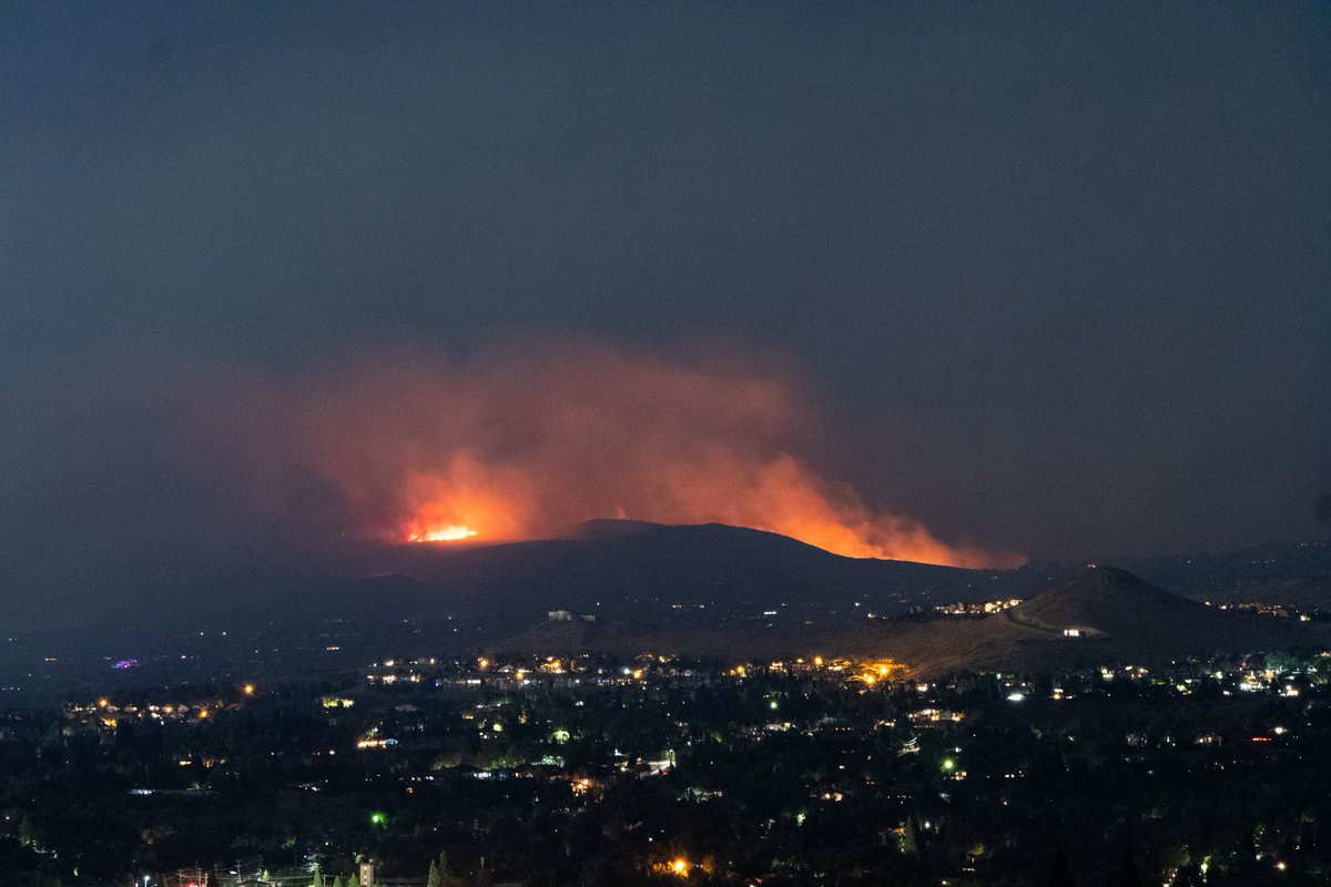
DavisFire burning south of Reno is reportedly 1800 acres. Reports also state that atleast 12 homeuildings have been destroyed
 1 year ago
Davis fire Washoe Reno. Road closures also remain in effect on Mount Rose Highway east of South Virginia Street and west of Atoma Road
Earthquake of magnitude 4.7 - 65 km WNW of Ollagüe, Chile
Davis Fire: 12 structures likely lost south of Reno, Nevada
 1 year ago
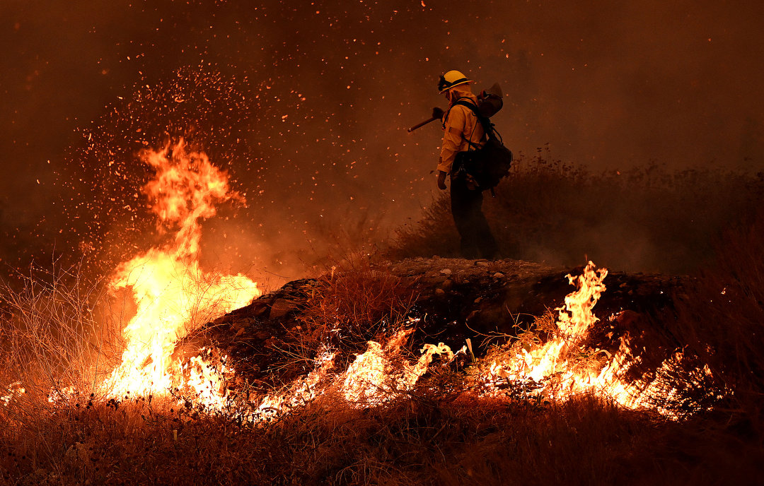
Firefighters try to keep the Line fire away from homes on Emmerton Lane in Highland on Saturday evening Sep. 7, 2024.
Earthquake of magnitude 5.3 - 194 km ESE of Tadine, New Caledonia
Nearly 20,000 NV Energy customers are without power due to the DavisFire
Earthquake of magnitude 5.5 - 109 km NW of Gizo, Solomon Islands
Truckee Meadows Fire and Rescue says as many as 12 structures have been lost in the DavisFire burning in Washoe Valley. It's unclear if they're homes or outbuildings. Here's video from the Callahan Road area from our photographer John Linn
Fast-moving Line fire forces evacuations in San Bernardino mountain towns
 1 year ago
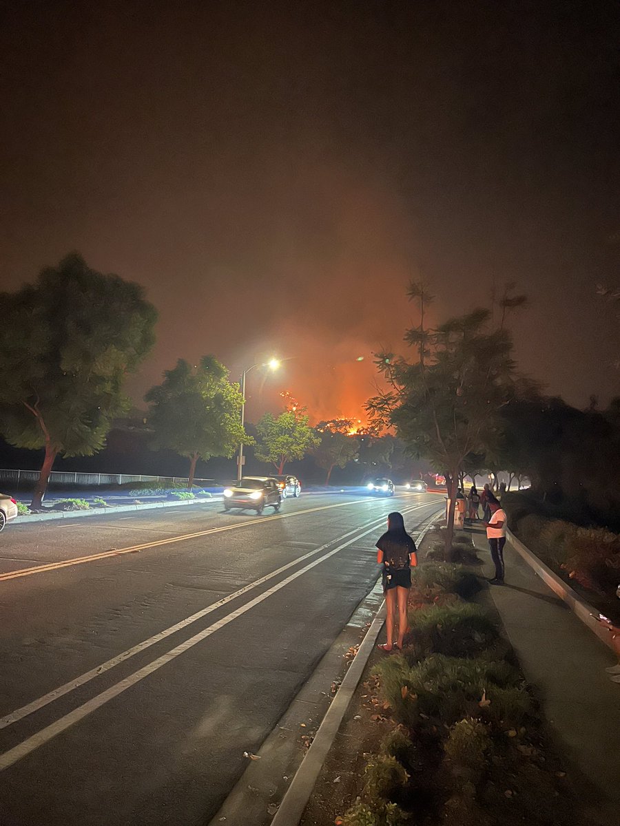
Nighttime pics. monitoring and packed and ready to go if we need to.
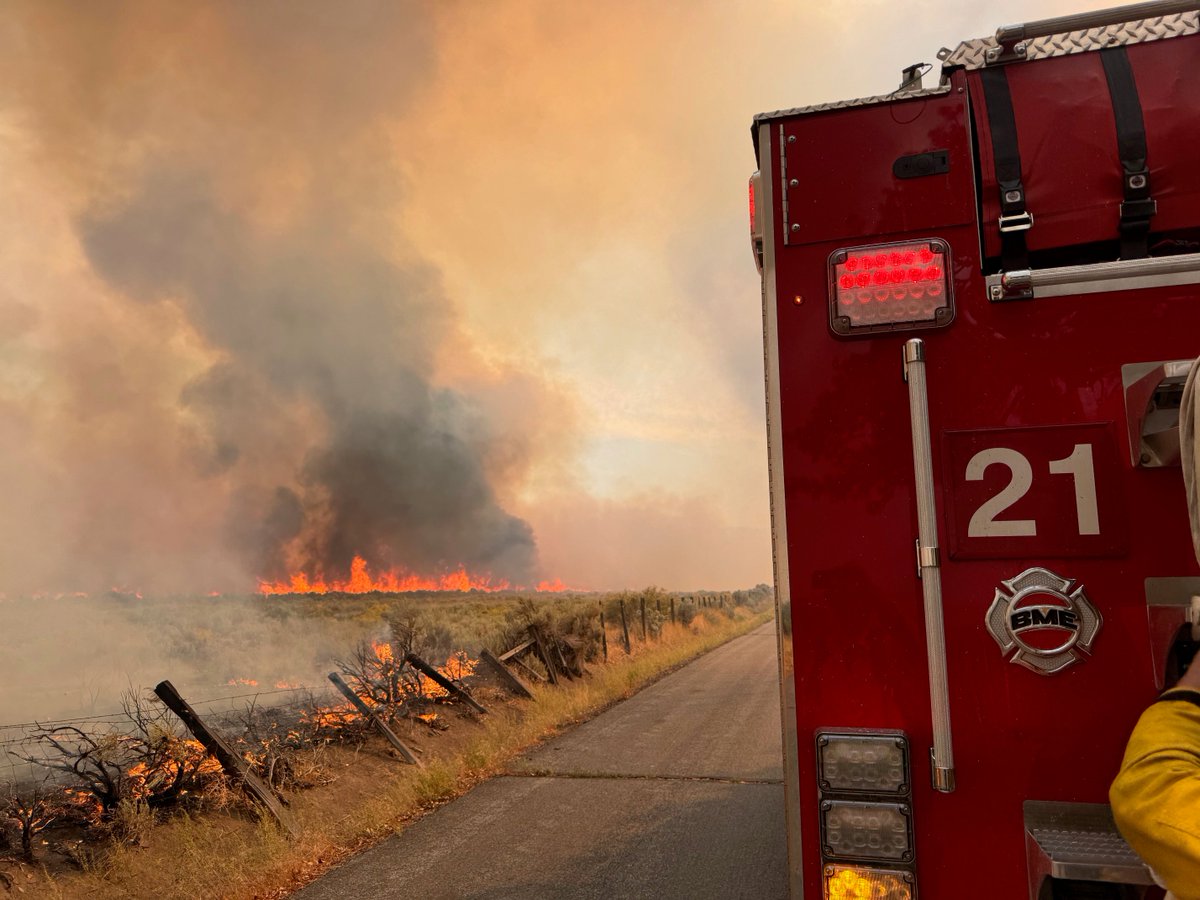
Active Vegetation Fire incident reported in Downtown, Los Angeles
 1 year ago
I-580 remains closed in both directions from Damonte Ranch Pkwy in south Reno to College Pkwy in north Carson.
Earthquake of magnitude 5.2 - south of the Kermadec Islands
2.4 magnitude earthquake. 5 mi from RunningSprings, CA, UnitedStates
Fast moving wildfire burn up to 500 acres prompting evacuations.Video was taken on September 7, 2024 at 3:55 PM in Washoe City, South of Reno.
Earthquake of magnitude 5.1 - 192 km NW of Sola, Vanuatu
The Davis Fire is burning outside Reno, Nevada and is already over 1,500 acres. nvfire nvwx wildfire davisfire Air tankers have started dropping on the fire and its reported that up to 6 structures may have already been lost. A very large resource response is under way
Earthquake of magnitude 4.6 - 101 km ENE of Miyako, Japan
Earthquake of magnitude 4.7 - 94 km E of Namie, Japan
 1 year ago
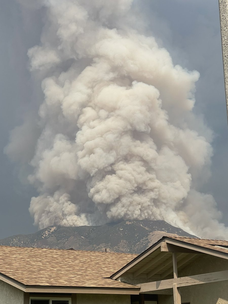
Linefire highland starting to get intense. Prayers to all in the community
Earthquake of magnitude 4.9 - 107 km ENE of Miyako, Japan
Earthquake of magnitude 6.0 - 128 km E of ‘Ohonua, Tonga
Earthquake of magnitude 4.8 - 93 km NE of Hihifo, Tonga