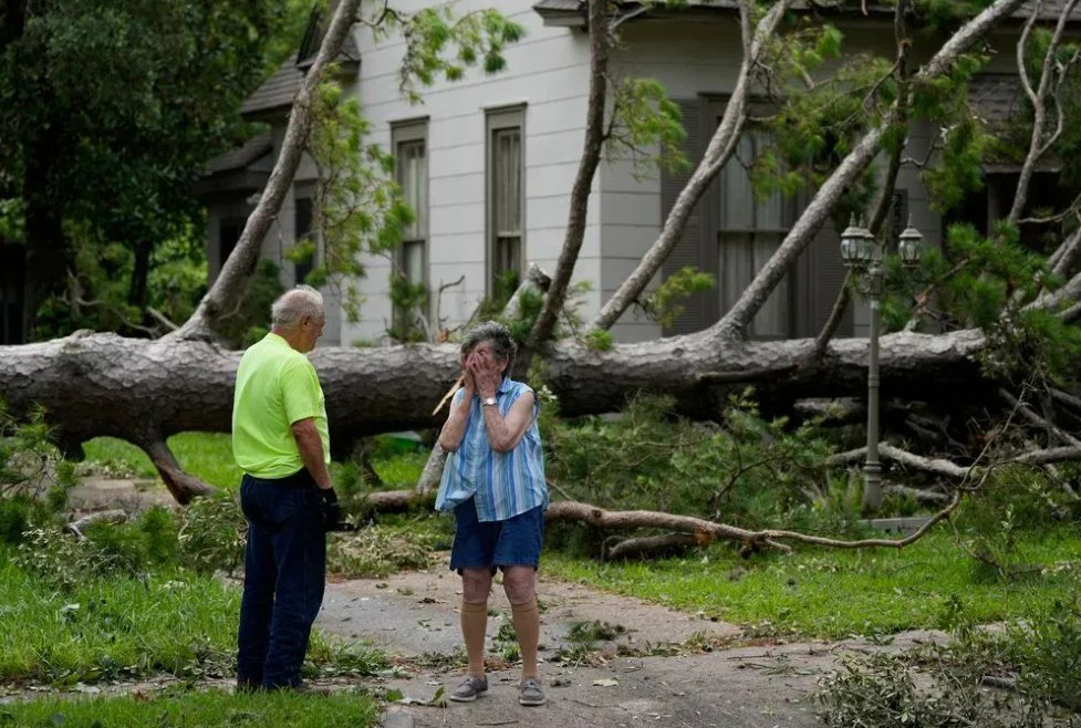
There have been 7 confirmed deaths in the Houston region as a result of Hurricane Beryl. Isiah Carey talked with reporter Sherman Desselle about the aggressive gas lines
LAFD Alert- ElSereno Contained - Brush Fire 4470 E Multnomah St FS16; 1/4 acre burning in light grass, fully contained
Active Vegetation Fire incident reported in El Sereno, Los Angeles.
 1 year ago
At least seven Texans, and one Louisianan, have died after Hurricane Beryl ripped through the Texas coast
 1 year ago
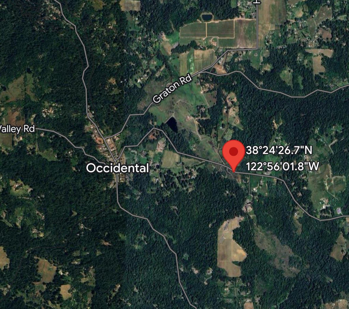
OccidentalFire: CAL FIRE and local agencies are responding to a vegetation fire near Occidental Rd and Facendini Ln, east of Occidental. The fire is approximately 1/2 acre burning in grass and timber at a slow rate of spread
Pius Fire burns 400 acres northeast of Payson
Tornado Warning including Lonoke AR, Carlisle AR and Humnoke AR until 12:15 AM CDT
Earthquake of magnitude 5.1 - southern Mid-Atlantic Ridge
 1 year ago
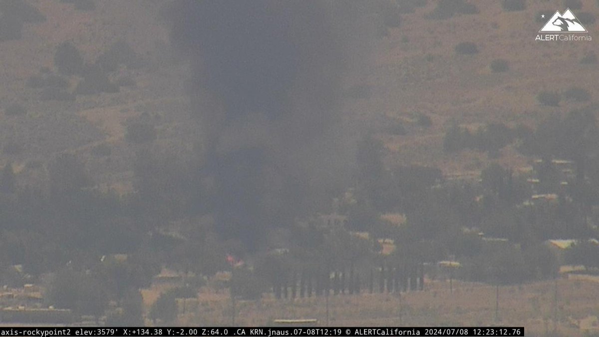
Firefighters are working to contain a fire Monday afternoon near Isabella Lake
Firefighters are battling a 10-acre fire near Del Valle Road in Del Valle Regional Park, Cal Fire says
Earthquake of magnitude 5.4 - 45 km WSW of Atiquipa, Peru
The Texas energy industry was evaluating the impact from Hurricane Beryl on Monday after the powerful storm lashed the U.S. Gulf Coast, closing key shipping ports and hitting the oil refining and production sectors
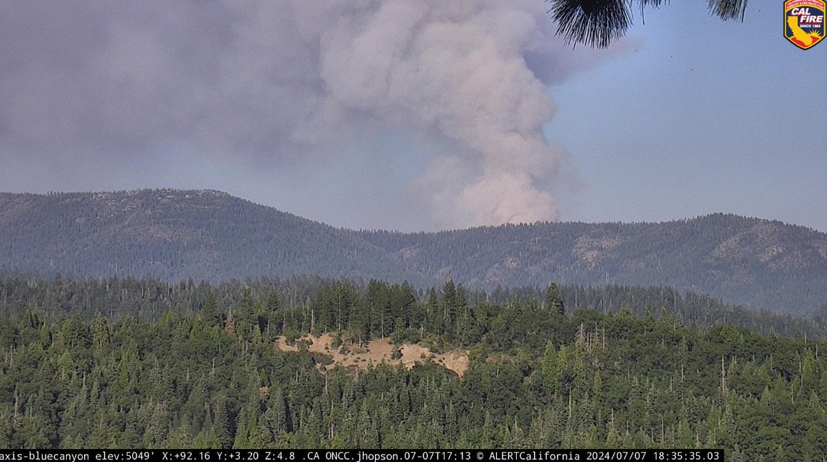
ShellyFire: A wildfire burning in the Klamath National Forest has reached 3,380 acres with 0% containment
Canyon Country. Brush fire. Bee Canyon and Soledad Canyon. DominoFire. IC this is 1/2 acre with a potential for 1 acre in the next hour. Keeping Copter 21; all other aircraft canceled
Earthquake of magnitude 5.2 - 212 km W of Tofino, Canada
Earthquake of magnitude 4.8 - 225 km SW of Port McNeill, Canada
Earthquake of magnitude 5.3 - 60 km WSW of Atiquipa, Peru
There are evacuation orders for the North Fire north of Likely in Modoc County. The fire started Sunday afternoon and has burned more than 4,300 acres
Active Vegetation Fire incident reported in Sherman Oaks, Los Angeles
Earthquake of magnitude 5.3 - 1 km E of Santo Domingo, Panama
Earthquake of magnitude 4.8 - 50 km ENE of Aras-asan, Philippines
 1 year ago
CAL FIRE has determined the Royal Fire burning west of Truckee was started by an escaped campfire. The fire has burned an estimated 100 acres and is spreading quickly
Royal Fire: Crews battle flames at Tahoe National Forest, smoke visible from I-80
Earthquake of magnitude 4.7 - 97 km WSW of Masachapa, Nicaragua
Earthquake of magnitude 5.5 - 77 km SSW of Ust’-Kamchatsk Staryy, Russia
Earthquake of magnitude 6.2 - Bonin Islands, Japan region
The Mariposa County Sheriff's Office lifted all evacuation warnings and orders in residential areas for the French Fire on Sunday morning. According to @CAL_FIRE, it's 45% contained and burned at least 908 acres
Earthquake of magnitude 4.7 - 7 km WSW of Savália, Greece
Earthquake of magnitude 5.6 - 73 km SSW of Ust’-Kamchatsk Staryy, Russia
Active Vegetation Fire incident reported in Unincorporated Santa Susana Mountains, Los Angeles