Earthquake of magnitude 4.6 - western Xizang
Earthquake of magnitude 5.0 - 117 km ENE of Neiafu, Tonga
The Corral Fire near Tracy has been held at 14,168 acres and containment has increased to 75%, Cal Fire says
Earthquake of magnitude 4.6 - 86 km SW of Karachi, Pakistan
A federal emergency regime was introduced in Transbaikalia and Buryatia due to forest fires
Earthquake of magnitude 4.6 - 35 km E of Aras-asan, Philippines
Earthquake of magnitude 4.9 - 145 km E of Hicks Bay, New Zealand
Earthquake of magnitude 5.0 - Kermadec Islands, New Zealand
Earthquake of magnitude 5.1 - southeast of the Loyalty Islands
Earthquake of magnitude 5.9 - northern Mid-Atlantic Ridge
Border 53 fire near Buttewig Canyon, South Slope of Otay Mountain in San Diego County is 250 acres and 50% contained
 1 year ago
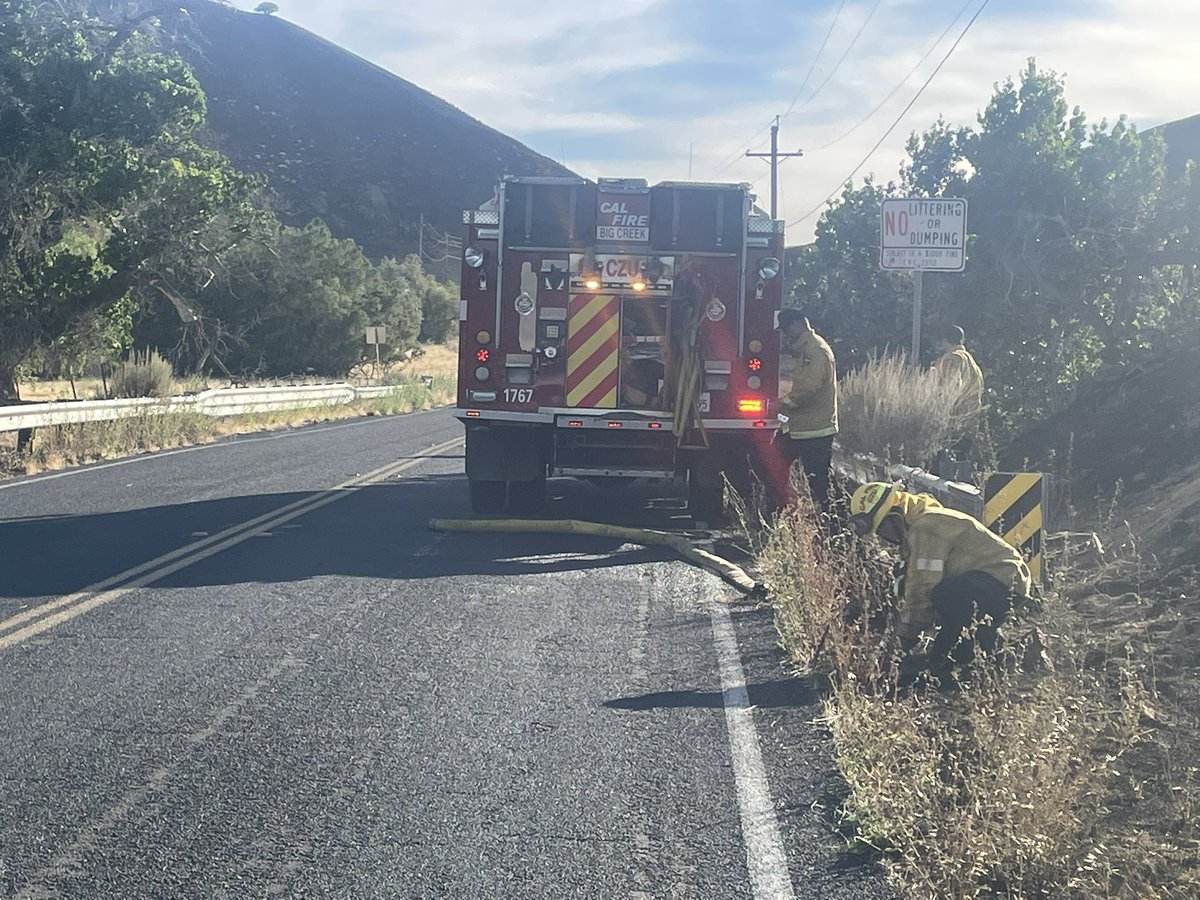
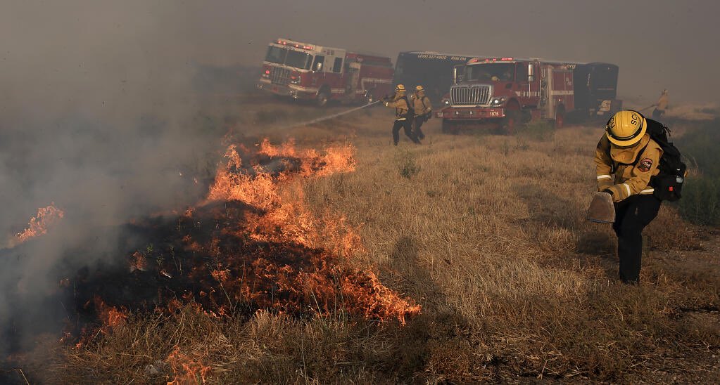
SAN JOAQUIN CO CAL_FIRE crews are working to put out the Corralfire. This is the view along S Corral Hallow Road. As of 6:45pm Sunday, CalFire says the fire is 50% contained and burned 14,168 Acres
CorralFire near Lawrence Livermore National Labratory Site 300 southwest of Tracy (San Joaquin County) is now 14168 acres and 50% contained. Firefighters continue to strengthen control lines.
California firefighters battle wind-driven wildfire east of San Francisco overnight
Earthquake of magnitude 4.9 - 88 km SW of Basay, Philippines
Earthquake of magnitude 4.9 - 206 km WSW of Abepura, Indonesia
Earthquake of magnitude 4.9 - 45 km NE of Anamizu, Japan
Earthquake of magnitude 5.8 - 38 km NE of Anamizu, Japan
CALFIRELNU has resources deployed to assist @calfireSCU at the CorralFire. We’ve sent 10 engines, 2 hand crews from Delta Camp, 1 dozer, 1 air attack, 1 helicopter and a battalion chief
 1 year ago
Firefighters continuing to make progress - the corralfire is now 30% contained and 14,000 acres
 1 year ago
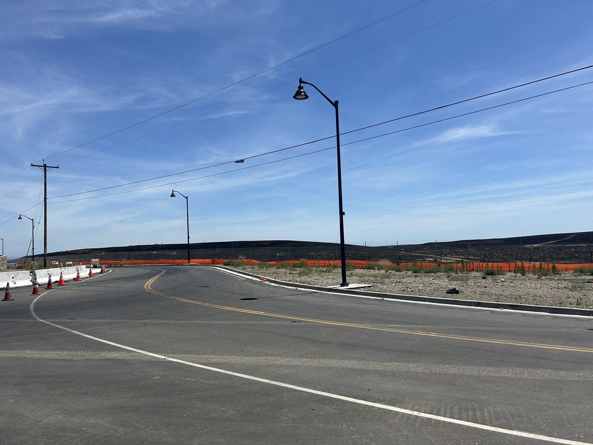
Sunlight has exposed a charred landscape west of the 580 near the city of Tracy nearly 20 square miles of it. At least one home was destroyed as the flames of the CorralFire burned uncontrolled yesterday into the night.
 1 year ago
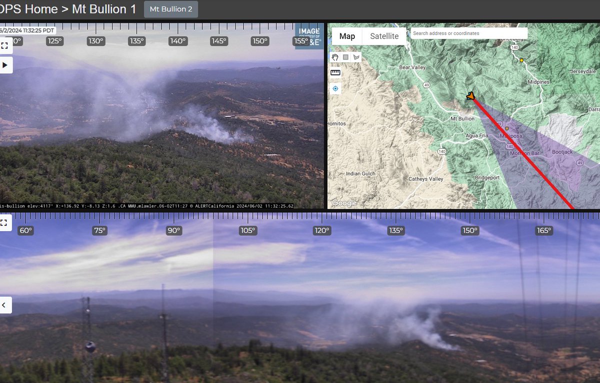
New fire near Mt. Bullion
3.5 magnitude earthquake. 2 mi from South Pasadena, CA, United States
Earthquake of magnitude 5.2 - 139 km SSW of Gizo, Solomon Islands
Earthquake of magnitude 4.9 - Kermadec Islands region
Earthquake of magnitude 4.6 - Pagan region, Northern Mariana Islands
Earthquake of magnitude 4.9 - 284 km NE of Dawson City, Canada
Earthquake of magnitude 5.0 - 41 km NNW of Tobelo, Indonesia
Earthquake of magnitude 4.8 - 92 km SSE of Mawlaik, Myanmar
 1 year ago
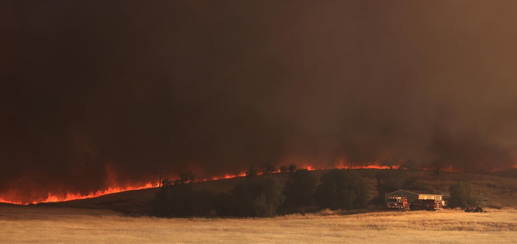
Once the CorralFire became slope aligned with a hot wind pushing it, the fire spotted everywhere, jumping 1-580 several times and burning in the median. @NorthBayNews.
 1 year ago
The CorralFire burns 11k acres along I-580 near Tracy, on a hot and extremely windy afternoon, prompting evacuations