Earthquake of magnitude 4.9 - 157 km E of Levuka, Fiji
Earthquake of magnitude 4.8 - south of Tonga
Earthquake of magnitude 5.5 - 54 km S of Isangel, Vanuatu
PeraltaFire (Riverside, Riverside Co) - IC reports forward progress has been stopped at approx 40 acres & the fire is now 10% contained. 5 type 3 engines & 4 handcrews ordered for the day shift. Final update on this one unless something changes
 3 year ago
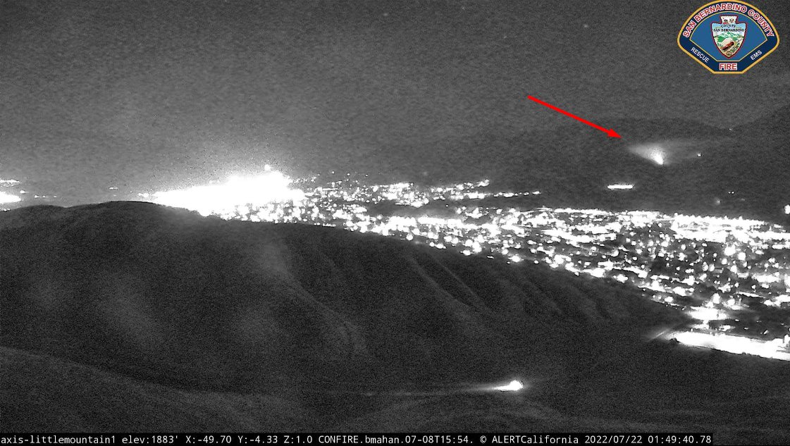
MeyersFire near San Bernardino, located approx 2 miles up Bailey Canyon Rd with very difficult access. Fire Watch 51 just arrived & mapped it at 1.02 acres, requesting 2 copters any type. Has been burning for some time now
Air attack just updated the fire to 1.02 acres. 1:45am
Earthquake of magnitude 4.8 - 113 km SSE of Panguna, Papua New Guinea
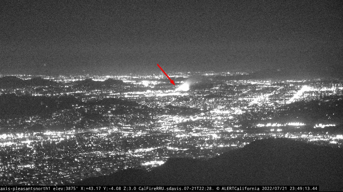
PeraltaFire - Fire is approx 10-acres burning in heavy fuels and 0% contained. Resources will remain committed for an extended period of time
Earthquake of magnitude 4.9 - 8 km ESE of Rocafuerte, Ecuador
 3 year ago
PeraltaFire in Riverside, east/south of Riverview Dr & Kern Dr, confirmed to be within city limits. ~2 acres out in the middle of the river bottom with difficult access, has been going on a while now. 3 addl type 3 engines & 2 more crews ordered just now
LAFD. Brush fire at Hansen Dam. WildFire. Will handle with 2 engines
 3 year ago
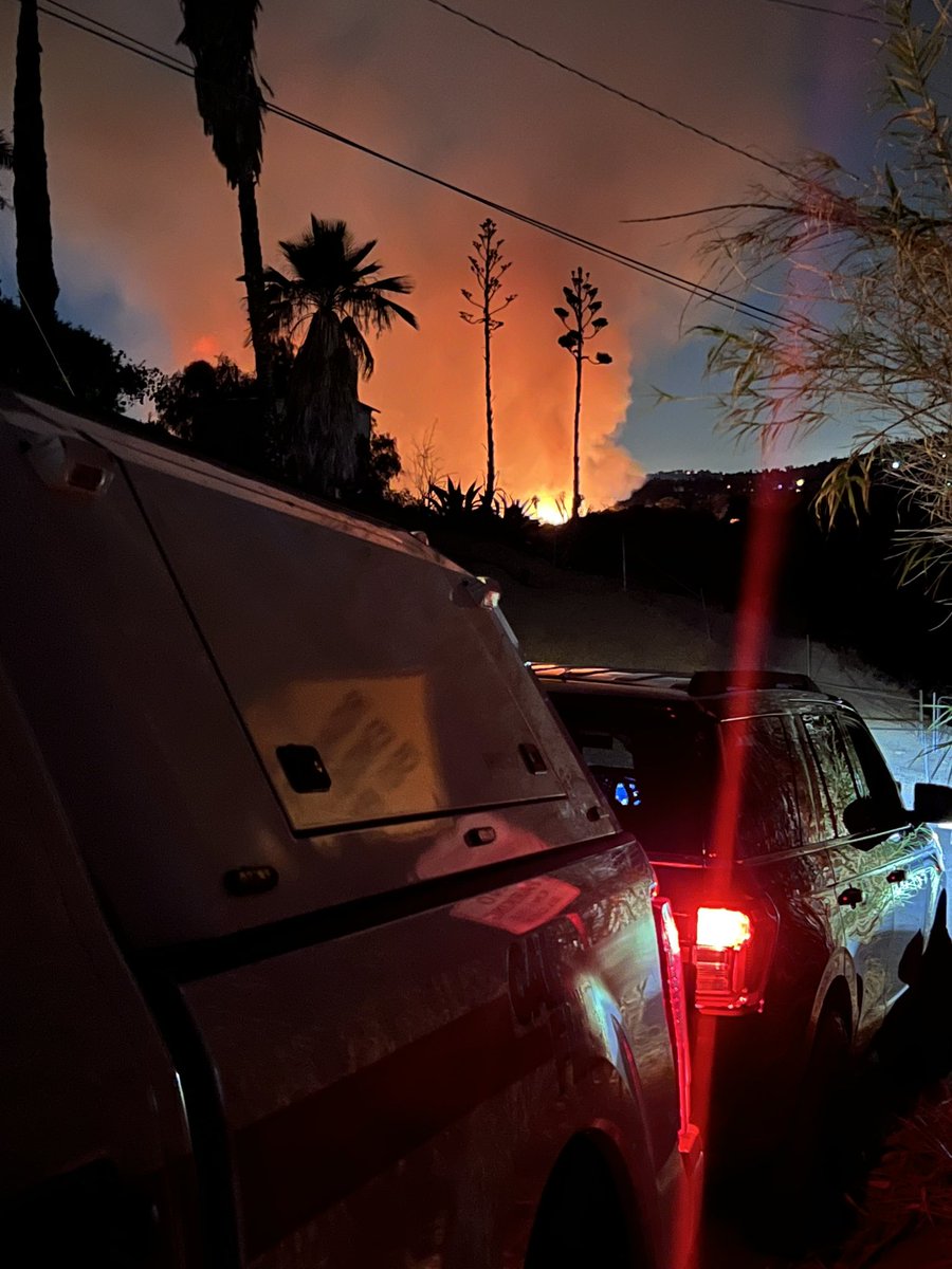
The fire is in the city of riverside heavy fuels and estimated 10 acres per IC. No immediate structure threat.
51st St E and Palmdale Blvd. Brush fire in the desert. Units responding code 3
 3 year ago
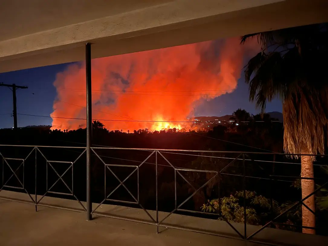
From our backyard on Old Mill Road in Riverside PeraltaFire
Fire is in the middle of the river bottom with difficult access.
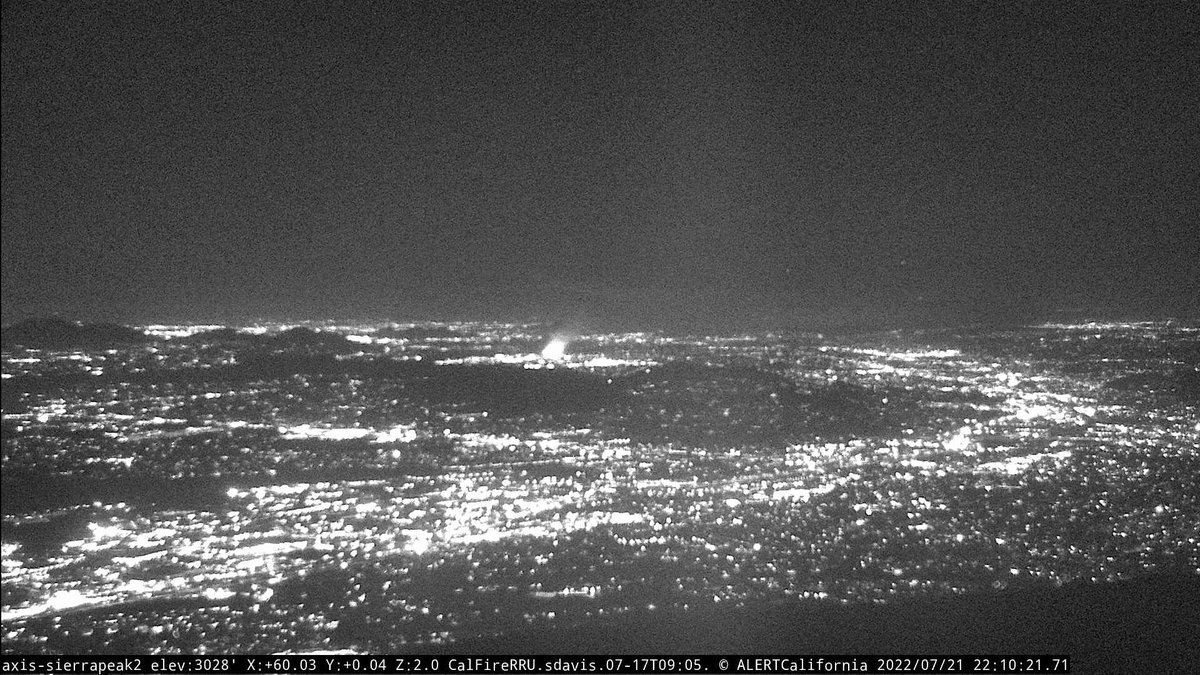
VEGETATION FIRE - 9:43PM Riverview Dr X Peralta Pl, Jurupa Valley. Firefighters are on scene of a 2-acre vegetation fire burning between county and city lines in the Santa Ana River bottom. @rivcafire and multiple units making access
 3 year ago
New Vegetation Fire, Location: Peralta Place in the River Bottom, Riverside. This will be the PeraltaFire
Earthquake of magnitude 4.6 - northern Mid-Atlantic Ridge
Earthquake of magnitude 5.2 - 5 km SW of Misawa, Japan
Earthquake of magnitude 5.1 - South Sandwich Islands region
Earthquake of magnitude 5.0 - 54 km S of Kēng Tung, Myanmar
Earthquake of magnitude 4.9 - 155 km SW of Padangsidempuan, Indonesia
Tornado Warning including Leominster MA, Fitchburg MA and Gardner MA until 4:15 PM EDT
Tornado Warning including New London NH, Wilmot NH and Grafton NH until 2:15 PM EDT
Earthquake of magnitude 5.8 - 54 km S of Kēng Tung, Myanmar
Tornado Warning including Newport VT, Orleans VT and Barton VT until 1:30 PM EDT
Earthquake of magnitude 4.8 - 57 km S of Kēng Tung, Myanmar
Earthquake of magnitude 4.9 - Balleny Islands region
Earthquake of magnitude 4.9 - 80 km NNW of Amahai, Indonesia
Earthquake of magnitude 4.6 - 54 km S of Whites City, New Mexico
Earthquake of magnitude 5.1 - 149 km E of Tadine, New Caledonia
Earthquake of magnitude 4.9 - 65 km E of Namie, Japan
Earthquake of magnitude 4.9 - south of the Kermadec Islands
Earthquake of magnitude 4.7 - off the east coast of the Kamchatka Peninsula, Russia
Lightning strikes Fort Gordon injuring 9 soldiers, killing 1
3.0 magnitude earthquake. 75 km from Loving, NM, United States
3.1 magnitude earthquake. 74 km from Loving, NM, United States
 3 year ago
A vegetation fire was quickly put out by Santa Barbara City firefighters Wednesday evening along Highway 101 at Milpas St. Several fires have taken place in this general area this year. Evidence of a homeless camp was found at the scene
Pomona. Brush fire. Fairplex and Gillette. MiningFire. Fire is burning in light to medium fuels
Pomona. Brush fire. Fairplex and Gillette. MiningFire. LACoFD E184 has 1/2 acre burning and running uphill. No structures threatened at this time