 3 year ago
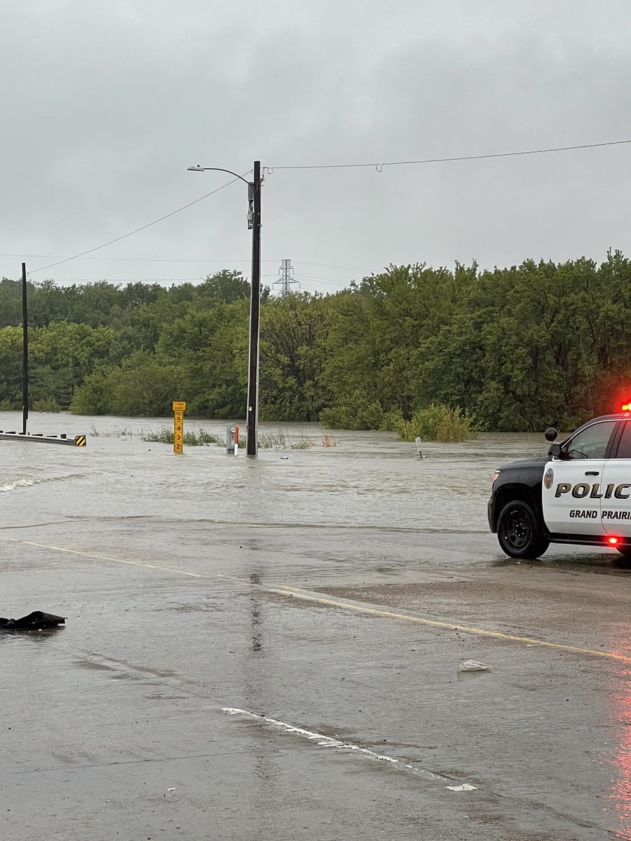
Flooding in Grand Prairie Belt Line & Skyline water about 2 Feet deep on Belt Line
2.8 magnitude earthquake. 20 mi from Seeley, CA, United States
Incident: Vegetation Fire Agency: San Jose Fire Department 9:10 AM PDT 8/22/22 Channel: CMD21 Response: TIER1 Responding Unit: B13 B35 E12 E18 E27 E612 E627 E335 WT18 Location: 260 BERNAL RD, CO, CA
Tornado Warning including Big Sandy TX, Hawkins TX and Winona TX until 11:00 AM CDT
Earthquake of magnitude 4.6 - 47 km SW of Khōst, Afghanistan
 3 year ago
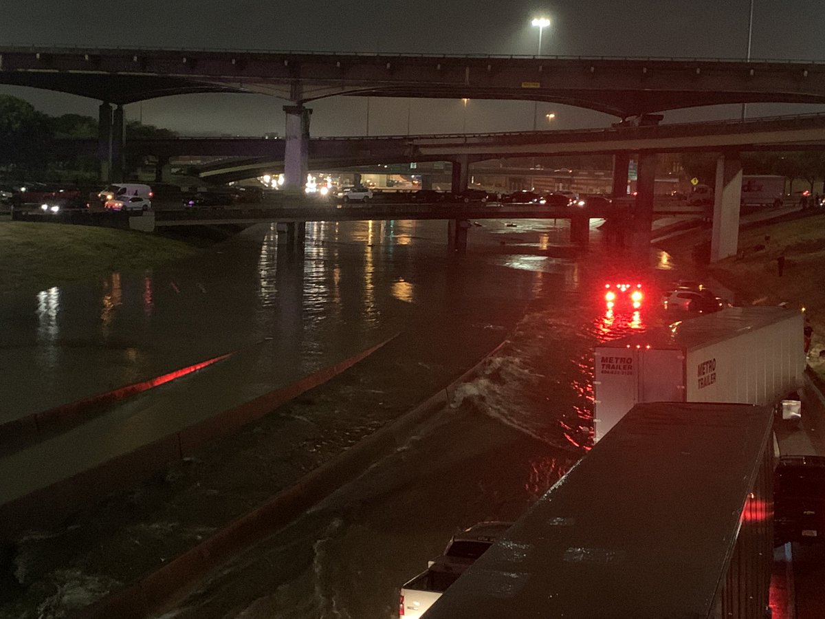
Dallas I-30 @75
 3 year ago
Dfw Traffic : AVOID I-30 EB & WB : S Malcolm X Boulevard. Major Flooding
Earthquake of magnitude 5.5 - 49 km SE of Nusa Dua, Indonesia
313AM: Do not attempt to approach Downtown Dallas, espucially from the south, east, or north, due to major urban flash flooding. Most roads, including I-30 and I-45 in the Canyon, are under water and impassable. Dallas Fire is working non-stop water rescues
Earthquake of magnitude 5.1 - central Mid-Atlantic Ridge
Tornado Warning including Itasca TX, Milford TX and Carl's Corner TX until 1:15 AM CDT
Earthquake of magnitude 5.3 - 101 km NE of Yonakuni, Japan
Tornado Warning including Mohave County, AZ until 5:15 PM MST
Tornado Warning including Mesquite NV and Bunkerville NV until 5:15 PM PDT
Earthquake of magnitude 4.9 - 98 km SSW of Ust’-Kamchatsk Staryy, Russia
Tornado Warning including Geneva OH and Madison OH until 7:00 PM EDT
Tornado Warning including Kettering OH, Beavercreek OH and Riverside OH until 6:30 PM EDT
Tornado Warning including Fruit Cove FL until 6:00 PM EDT
 3 year ago
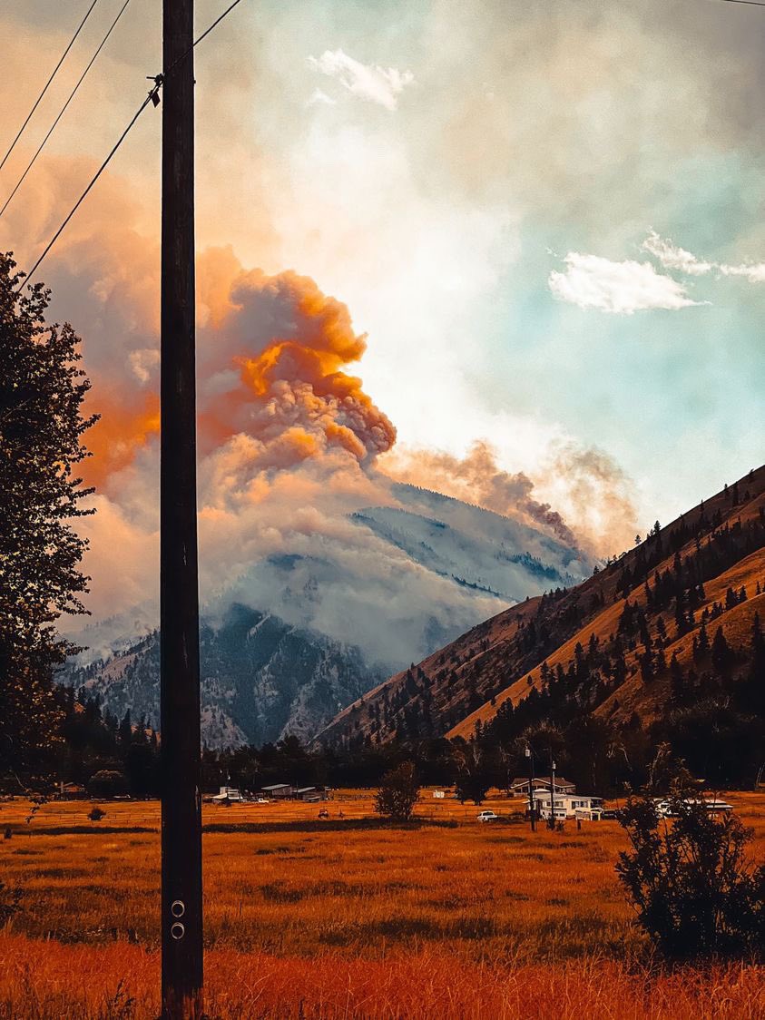
Idaho: The Moose Fire is now over 92,000 acres and 34% contained. The Lolo Hotshots performed a successful firing operation yesterday on Panther Crk. More burn ops are planned today if weather is cooperative. A warming trend is expected into next week moosefire idaho wildfire
Earthquake of magnitude 5.1 - Reykjanes Ridge
Earthquake of magnitude 4.7 - Reykjanes Ridge
Earthquake of magnitude 4.6 - 14 km SE of Calceta, Ecuador
Earthquake of magnitude 4.7 - 128 km SW of Panguna, Papua New Guinea
2.8 magnitude earthquake. 6 mi from Borrego Springs, CA, United States
Earthquake of magnitude 5.5 - 50 km NW of Bahía de Caráquez, Ecuador
4.7 magnitude earthquake. 237 km NE of Laikit, Laikit II (Dimembe), Indonesia
 3 year ago
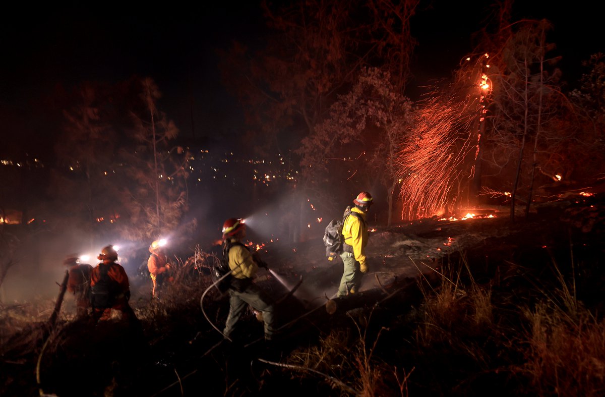
Crews work to tie in containment lines on the steep slopes of the PointFire near Lower Lake, Ca., Saturday evening
Earthquake of magnitude 4.7 - 237 km NE of Laikit, Laikit II (Dimembe), Indonesia
PointFire - LCSD: Evac Warning is lifted for the area west of Anderson Road. All evacuation orders remain in effect. Fire forward progress is stopped
PointFire off of Anderson Road and Panorama Road, West of lower lake in Lake County is 14 acres and 20% contained