Earthquake of magnitude 4.9 - Bay of Bengal
 3 year ago
WashburnFire (Yosemite NP) - Intel 12 mapped the fire @ 3,843 acres. No obvious growth other than for the eastern side north of Raymond Mtn - shown below. 17% contained - this could be because of new growth rather than losing existing containment
 3 year ago
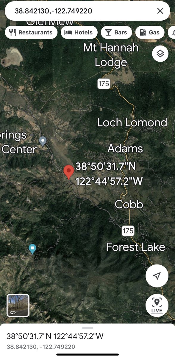
BottleFire - CAL FIRE Sonoma-Lake-Napa Unit is at scene of a 2 acre vegetation fire near 15000 Bottle Rock Rd, Cobb. If traveling in the area please use caution and give way to emergency vehicles
Earthquake of magnitude 4.7 - 32 km NE of Cocachacra, Peru
Earthquake of magnitude 4.8 - Easter Island region
Earthquake of magnitude 4.7 - Easter Island region
Earthquake of magnitude 5.5 - 14 km WSW of La Capilla, Peru
Earthquake of magnitude 4.7 - 44 km SW of Brisas Barra de Suchiate, Mexico
Earthquake of magnitude 5.5 - Easter Island region
Tornado Warning including Hackettstown NJ, Beattystown NJ and Long Valley NJ until 6:15 PM EDT
Earthquake of magnitude 4.9 - West Chile Rise
Earthquake of magnitude 5.6 - Easter Island region
Earthquake of magnitude 4.9 - South Sandwich Islands region
Earthquake of magnitude 6.4 - Easter Island region
Tornado Warning including Compass Lake FL and Fountain FL until 2:00 PM CDT
 3 year ago
The WashburnFire is active this morning along the northeast side in the Raymond Mountain area. The southern ridgeline is holding with no spots across. However, progression to the east is expected. FW51 says all spots across 41 and north of the Merced River have no visible heat
 3 year ago
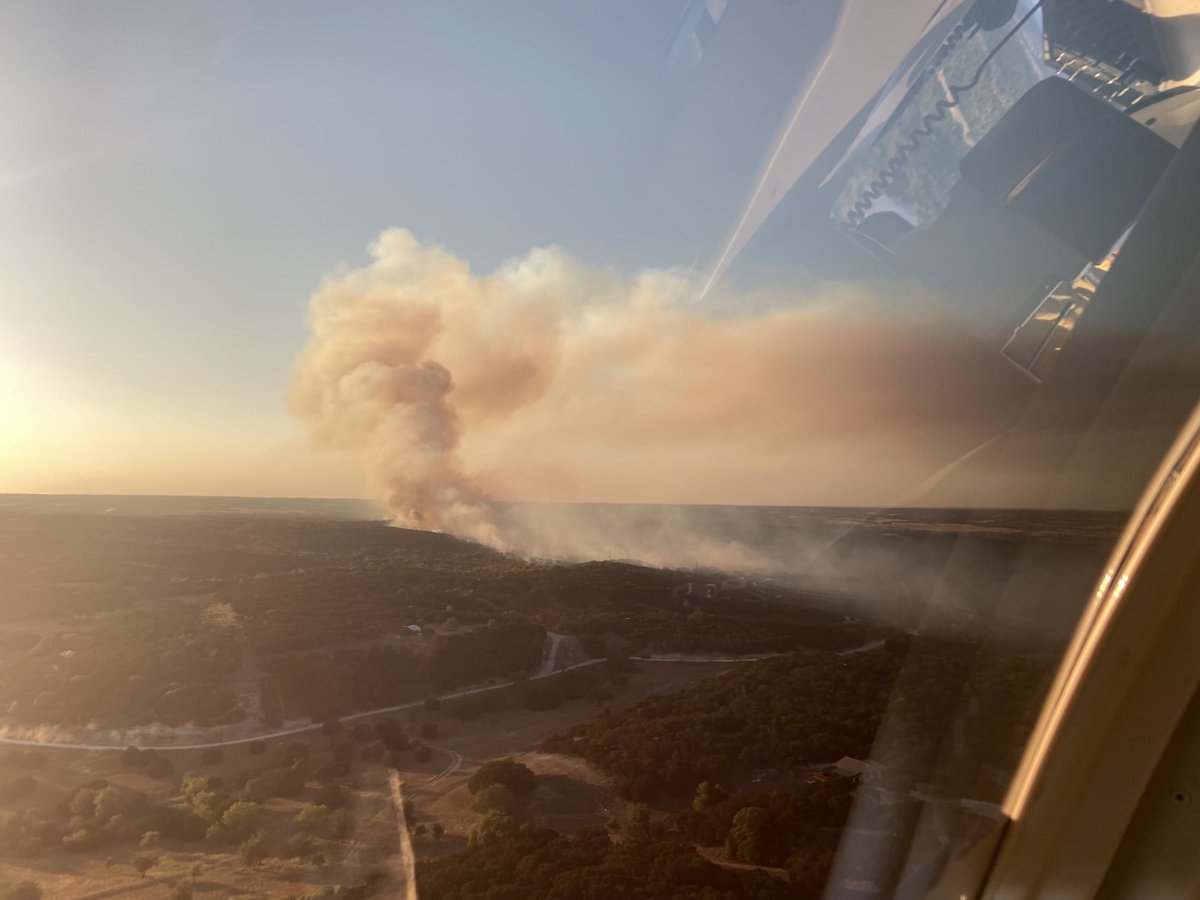
As of this morning, the Hard Castle Fire is now reported to be 70 percent contained. Firefighters continue to address hotspots throughout the fire: fox44tx
Earthquake of magnitude 4.6 - 136 km NW of Ternate, Indonesia
Earthquake of magnitude 5.2 - Davis Strait
Earthquake of magnitude 5.1 - Davis Strait
Earthquake of magnitude 4.6 - 15 km NE of San Juanito, Mexico
Earthquake of magnitude 4.9 - 105 km SE of Kokopo, Papua New Guinea
2.8 magnitude earthquake. 6 km from Yorktown, TX, UnitedStates
Earthquake of magnitude 4.7 - 108 km NW of San Antonio de los Cobres, Argentina
Earthquake of magnitude 4.7 - 10 km WNW of Point Possession, Alaska
Earthquake of magnitude 4.8 - 12 km WNW of Point Possession, Alaska
Earthquake of magnitude 4.7 - 178 km NNW of Tobelo, Indonesia
2.7 magnitude earthquake. 56 km from Tonopah, NV, United States
 3 year ago
WashburnFire (Yosemite NP) - 22% contained (slight drop). FIRIS mapped the fire @ 3,247 acres ~45 minutes ago.
LAFD. Brush fire at Hansen Dam. BC12 on scene and reports a 30 x 30 fire in a homeless encampment. No threat to structures. This is the Hansen fire. HansenFire. Across from the dam, same location as todays earlier fire
 3 year ago
Yosemite California Sun setting on the WashburnFire
 3 year ago
HalfwayHillFire activity has increased this evening, burning in area with high-density of dead vegetation in a drainage within the current fire perimeter, not causing substantial growth
Tornado Warning including Lake Fenton MI and Goodrich MI until 12:00 AM EDT
WashburnFire (Yosemite NP) - From the community meeting: the fire is not moving very quick, it is however burning very intensely due to the fuels. Fire has flanked along Hwy 41 & the spot fires across Hwy 41 have all been picked up & were small in nature
Incident: Vegetation Fire Agency: San Jose Fire Department 6:59 PM PDT 7/11/22 Responding Unit: E29 Location: 195 CHAMPION CT, SAN JOSE, CA
Incident: Vegetation Fire Agency: San Jose Fire Department 6:57 PM PDT 7/11/22 Responding Unit: E3 Location: NB 280 SO OF 87, SAN JOSE, CA
Incident: Vegetation Fire Agency: San Jose Fire Department 6:56 PM PDT 7/11/22 Responding Unit: E6 Location: ALMA AT 87, SAN JOSE, CA
Incident: Vegetation Fire Agency: San Jose Fire Department 6:51 PM PDT 7/11/22 Responding Unit: E1 Location: TAYLOR AT 87, SAN JOSE, CA
Incident: Vegetation Fire Agency: San Jose Fire Department 6:46 PM PDT 7/11/22 Channel: CMD21 Response: TIER1 Responding Unit: B1 B2 E18 E24 E31 E624 E631 WT18 Location: SB 680 AT ALUM ROCK AV, SAN JOSE, CA
Earthquake of magnitude 4.9 - 120 km SW of Bandar Lampung, Indonesia
Tornado Warning including Saint Johns MI, DeWitt MI and Portland MI until 10:45 PM EDT
Earthquake of magnitude 4.6 - 46 km SSW of Mufumbwe, Zambia
Earthquake of magnitude 6.0 - 140 km SSW of Gataivai, Samoa
Earthquake of magnitude 5.7 - 145 km SSW of Gataivai, Samoa
Earthquake of magnitude 6.0 - 145 km SSW of Gataivai, Samoa
Earthquake of magnitude 5.5 - 119 km NE of Hihifo, Tonga
Earthquake of magnitude 5.6 - 101 km NNE of Hihifo, Tonga
Earthquake of magnitude 6.0 - 152 km ENE of Hihifo, Tonga
Earthquake of magnitude 5.0 - Kermadec Islands region
Earthquake of magnitude 6.1 - 87 km SE of Port-Vila, Vanuatu
Earthquake of magnitude 5.7 - 88 km ESE of Port-Vila, Vanuatu