Earthquake of magnitude 4.9 - South Georgia Island region
Earthquake of magnitude 4.9 - 1 km NW of Los Naranjos Esquipulas, Mexico
Earthquake of magnitude 5.4 - South Sandwich Islands region
Earthquake of magnitude 4.9 - southeast of the Loyalty Islands
Earthquake of magnitude 4.9 - 36 km WSW of Kýthira, Greece
Earthquake of magnitude 5.2 - south of the Kermadec Islands
Earthquake of magnitude 5.2 - south of the Kermadec Islands
Earthquake of magnitude 4.6 - 7 km SSE of Ōhara, Japan
Earthquake of magnitude 4.6 - western Indian-Antarctic Ridge
Earthquake of magnitude 4.9 - 2 km SSW of Paphos, Cyprus
LAFD. Brush fire. Garber St. and Bernadette St. LF98 reports 1/4 acre burning in light fuels and moving uphill. This is the Garber incident GarberFire
Earthquake of magnitude 5.2 - 30 km NW of Ambunti, Papua New Guinea
 3 year ago
The Old Bisbee Fire outside of Bisbee Arizona in the Mule Mountains is 100 acres and still growing. Crews are on scene and more resources have been ordered
Earthquake of magnitude 4.6 - 116 km E of Neiafu, Tonga
 3 year ago
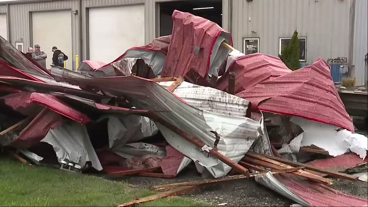
EF-0 TORNADO in Ohio —winds 80 mph Eaton Township, OH
2.6 magnitude earthquake. 4 mi from Imperial, CA, UnitedStates
Earthquake of magnitude 4.8 - east of the Kuril Islands
Earthquake of magnitude 4.6 - 128 km WNW of Naha, Japan
Earthquake of magnitude 4.6 - 77 km ENE of Levuka, Fiji
Earthquake of magnitude 4.7 - 163 km NNW of Sola, Vanuatu
Earthquake of magnitude 4.6 - 250 km SE of Chignik, Alaska
2.3 magnitude earthquake. 7 mi from Idyllwild-PineCove, CA, United States
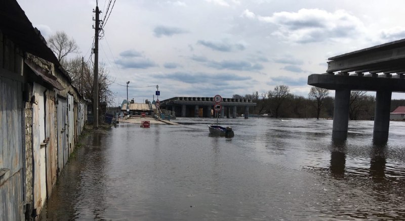 3 year ago
Flooding in Bryansk
Earthquake of magnitude 4.8 - 94 km SSE of Panguna, Papua New Guinea
Earthquake of magnitude 4.6 - Fiji region
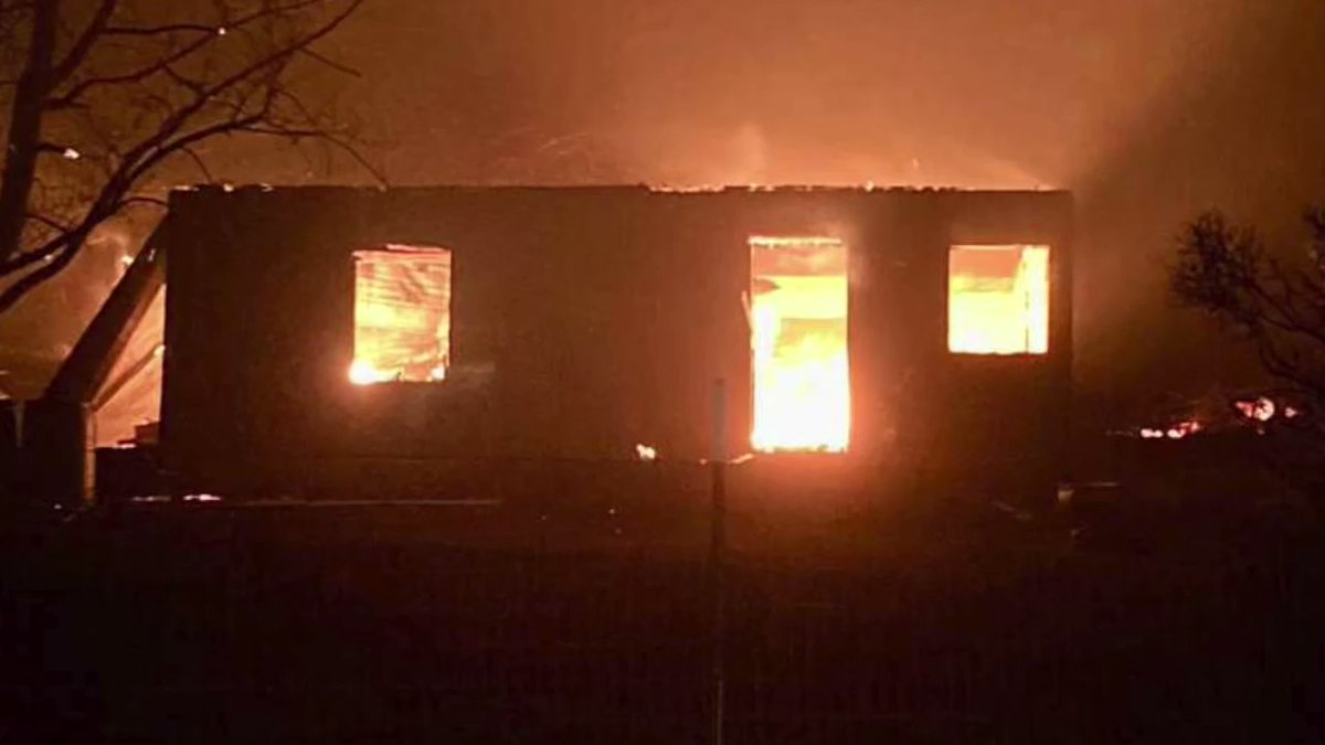 3 year ago
Calf Canyon Fire (Combined with the Hermit's Peak Fire) San Miguel County, NM Taos County Sheriff's Office 54,000 Acres 12% Contained
2.7 magnitude earthquake. 7 km from Ferndale, CA, UnitedStates
Earthquake of magnitude 5.2 - Kuril Islands
2.4 magnitude earthquake. 9 mi from Borrego Springs, CA, UnitedStates
 3 year ago
There's a large brush fire off Sam's Point Rd in Cragsmoor, NY. This area, generally known as the Shawangunk Mtns, has seen a number of large fires, most recently in April of 2016, almost 6 years to the day. It burned over 2,000 acres. Unknown acreage on this one so far