Earthquake of magnitude 4.9 - 25 km N of Norsup, Vanuatu
 3 year ago
6,000 acres. Fire appears to be flaring up again r
 3 year ago
TunnelFire near Flagstaff AZ tonight
Earthquake of magnitude 5.0 - 283 km ESE of Port Mathurin, Mauritius
Earthquake of magnitude 5.0 - 22 km SSE of Rasht, Tajikistan
Earthquake of magnitude 5.1 - 235 km SE of Sarangani, Philippines
Earthquake of magnitude 4.6 - 3 km NNE of Acevedo, Colombia
Earthquake of magnitude 4.6 - 38 km ESE of San Ignacio, Philippines
Boulder County crews responding to a 2-acre grass fire in Gunbarrel off Tally Ho Trail. They have asked for two brush trucks as "winds are picking up"
 3 year ago
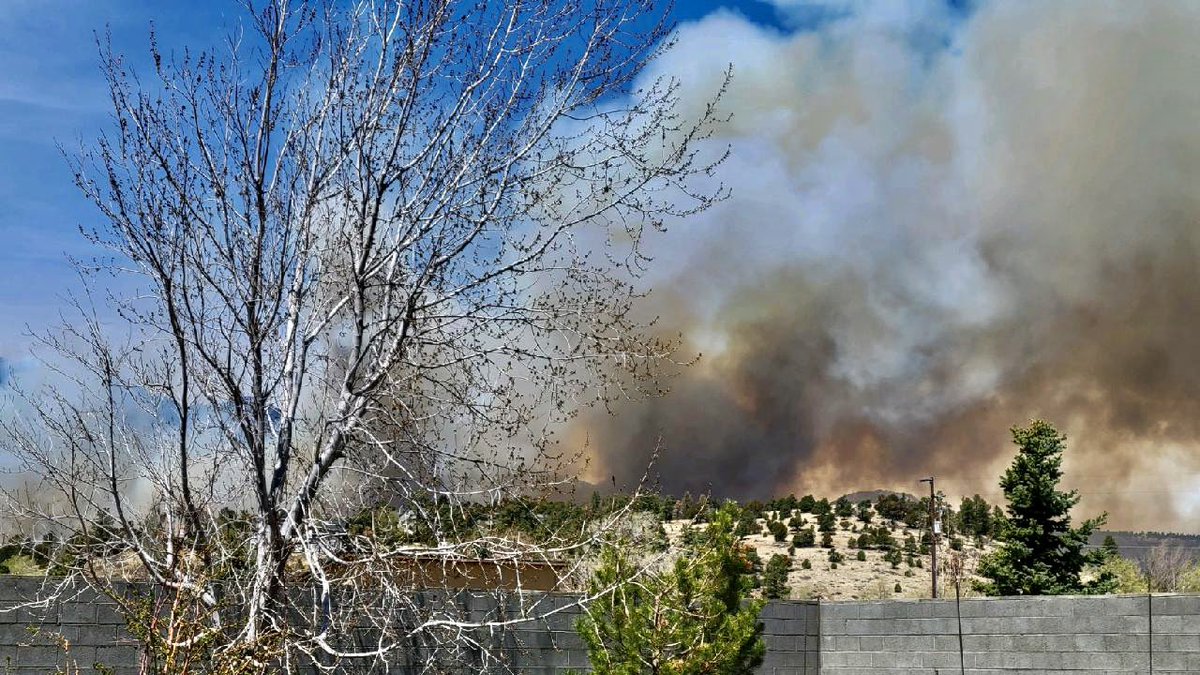
The Tunnel Fire is on the Coconino National Forest in Arizona. Currently the fire is in early IA status. Multiple aircraft responding. "SET" status for possible evacuations near Doney Park
 3 year ago
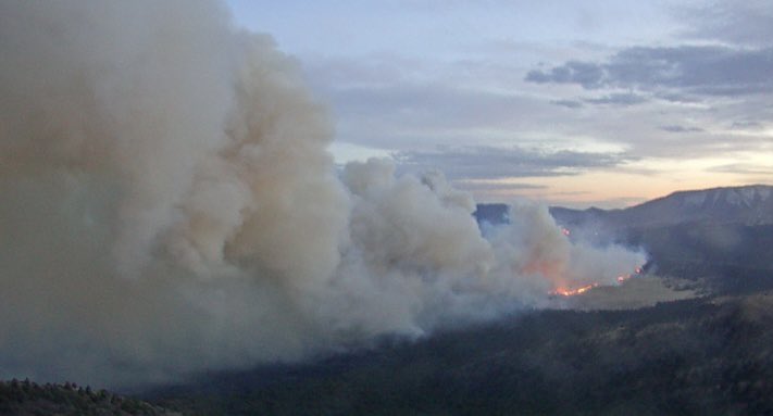
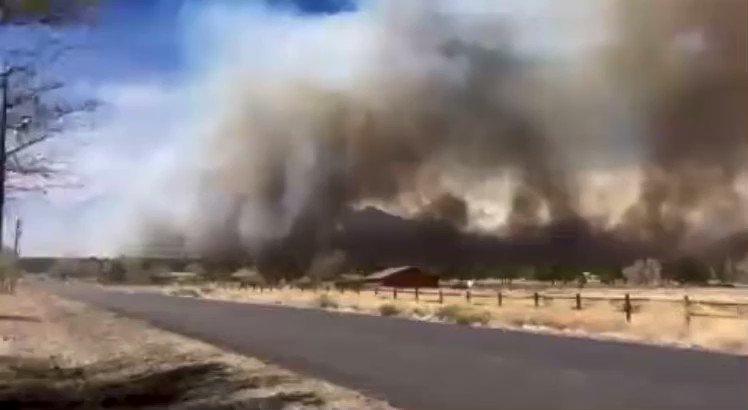
The Tunnel Fire is estimated to be 100+ acres and 0% containment. Fire is rapidly spreading in a northeast direction due to high winds with medium-to-high-range spotting occurring in timber and grass. 50 MPH wind gusts on site. Video: @ElevatedTrail wildfire fire tunnelFire
 3 year ago
Report of a vegetation fire at the Mineral Bar campground in the Iowa Hill/Colfax area in Placer County. Units dispatched for a reported 1/2 acre on the west side of the canyon, moving uphill
Evacuation Warning Coconino County Set: Timberline area west of Hwy 80. Includes Hutchinson Acres and Wupatki Trails TunnelFire
 3 year ago
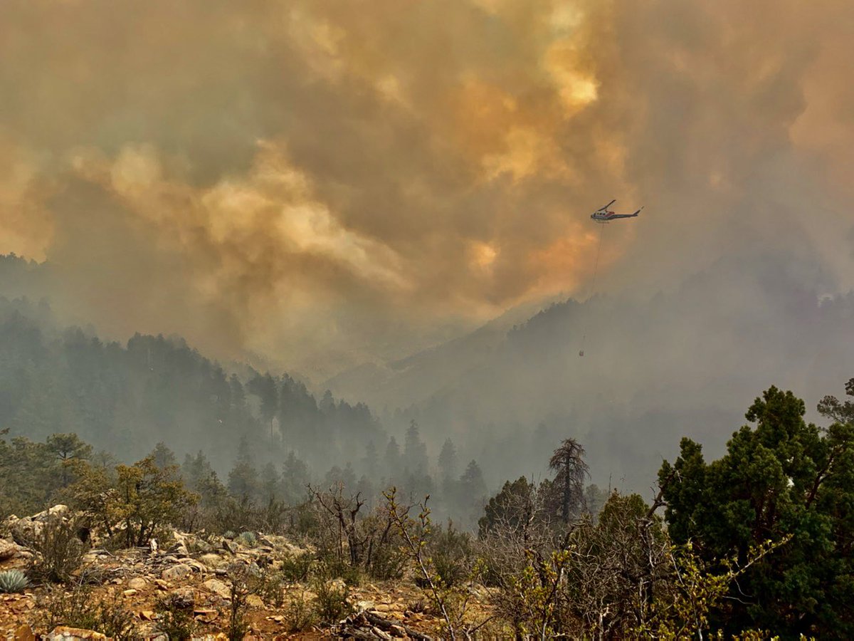
view from Slayton Ranch
 3 year ago
Crooks Fire: Type 1 team ordered from California. Prescott National Forest closed. The fire is 10 miles South of Prescott Arizona
Earthquake of magnitude 4.9 - 52 km ESE of Manay, Philippines
2.9 magnitude earthquake. 5 mi from Imperial, CA, UnitedStates
Earthquake of magnitude 5.0 - 100 km SE of Lukatan, Philippines
Earthquake of magnitude 4.7 - South Sandwich Islands region
 3 year ago
Here is the FireMappers perimeter from about 9 a.m. It puts the CrooksFire at 466 acres
Earthquake of magnitude 4.6 - 29 km ESE of San Ignacio, Philippines
2.7 magnitude earthquake. 19 mi from Searles Valley, CA, United States
Earthquake of magnitude 4.6 - 95 km WSW of San Antonio de los Cobres, Argentina
Earthquake of magnitude 4.9 - 2 km SE of La Unión, Mexico
Earthquake of magnitude 5.3 - Balleny Islands region
Earthquake of magnitude 4.8 - 120 km NNE of Yonakuni, Japan
A shelter in place was established for the east and west side of desert Moon Dr, south of 30th Ave, north of Del Norte Wy in Thousand Palms. Approximately 12 residences are affected
Earthquake of magnitude 5.0 - 65 km E of Santiago, Philippines
Earthquake of magnitude 6.0 - 108 km E of ‘Ohonua, Tonga
Earthquake of magnitude 5.2 - 60 km ESE of Santiago, Philippines