A fire has sparked at South Mountain late Saturday night. It is unknown how large the fire is
Earthquake of magnitude 4.6 - 295 km W of Sabang, Indonesia
Earthquake of magnitude 5.3 - 66 km ESE of Akkeshi, Japan
Earthquake of magnitude 5.3 - 54 km SW of Palaióchora, Greece
Earthquake of magnitude 6.2 - 8 km SSE of Jalapa, Guatemala
Earthquake of magnitude 4.6 - 48 km ENE of Onagawa Chō, Japan
Earthquake of magnitude 4.9 - 98 km S of Dushanzi, China
Earthquake of magnitude 5.0 - 190 km SSE of Lata, Solomon Islands
Level 3 Evacuations issued for Swawilla Fire burning near Keller, Washington
Earthquake of magnitude 4.8 - 288 km SSE of Alo, Wallis and Futuna
Earthquake of magnitude 4.7 - Volcano Islands, Japan region
Earthquake of magnitude 5.4 - 155 km WSW of Teluk Dalam, Indonesia
Earthquake of magnitude 4.9 - 72 km ESE of Iwaki, Japan
Earthquake of magnitude 4.7 - Bonin Islands, Japan region
Earthquake of magnitude 4.6 - 51 km WNW of San Antonio de los Cobres, Argentina
Level 3 Evacuations (GO NOW) have been issued for the Swawilla Fire burning near Keller, Washington
 5 month ago
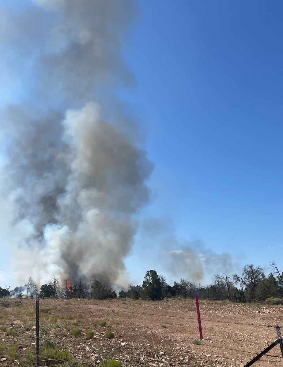
South of Grand Canyon Village is 70% contained at 2900 ac. Fire has received some precip helping calm fire activity down and allowing crews to get add'l line around fire. No new growth over last 24 hours
 5 month ago
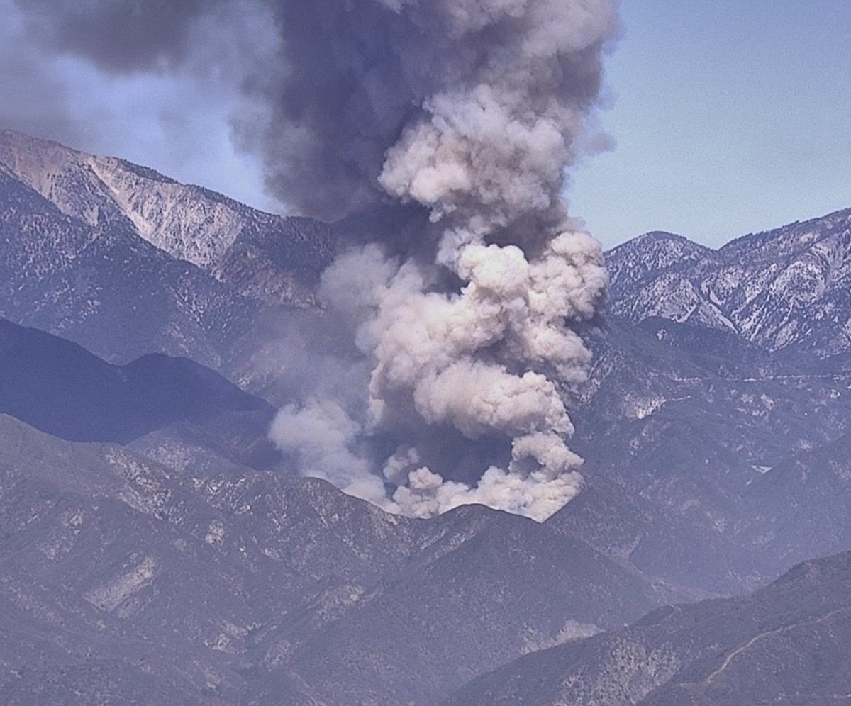
Fire in Angeles National Forest- 75 acres burning in East Fork area- Evacuations ordered- East Fork Road closed- Smoke plume visible on Pine Mountain cam- Local fire protection assisting
 5 month ago
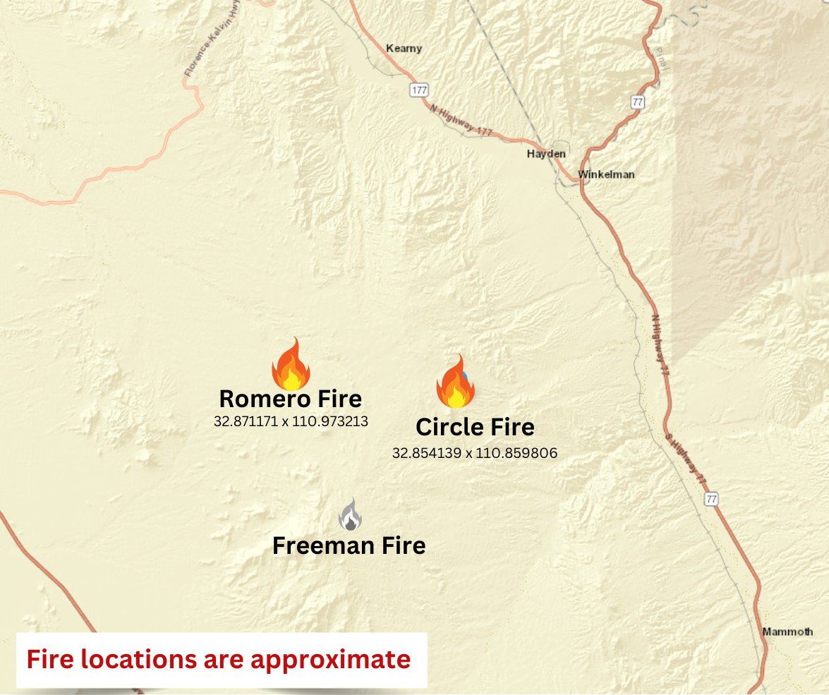
CircleFire estimated at 200 acres and burning at the base of Antelope Peak. Fire is backing through grass and brush. with approximate location in comments. RomeroFire : Fire is burning in grass and brush with an estimated size of 2,000 acres. Fire is spreading to the West and North. Those in the surrounding area should expect to see fire activity through the night.
Earthquake of magnitude 4.6 - 52 km SE of San Pedro de Atacama, Chile
Earthquake of magnitude 5.2 - South Sandwich Islands region
Earthquake of magnitude 4.9 - 250 km E of Tadine, New Caledonia
Brush fire. Glendora Mountain and East Fork. ANF P22 reports smoke showing from the end of East Fork. Wants CHP and LASD to shut down the road, and evacuate Bridge to No Where
 5 month ago
A 3.3 magnitude earthquake occured at 11 km NNE of Brooktrails, CA.
Active Vegetation Fire incident reported in Granada Hills, Los Angeles
Earthquake of magnitude 4.6 - 112 km SE of Colchane, Chile
Earthquake of magnitude 5.1 - 36 km SW of Tobelo, Indonesia
Earthquake of magnitude 5.0 - 34 km SW of Tobelo, Indonesia
Earthquake of magnitude 5.0 - 129 km SE of Bitung, Indonesia
USGS reports Magnitude 3.7 earthquake 4 km WSW of Westbrook, Texas