Earthquake of magnitude 4.9 - South Sandwich Islands region
Earthquake of magnitude 5.0 - South Sandwich Islands region
 1 週 前
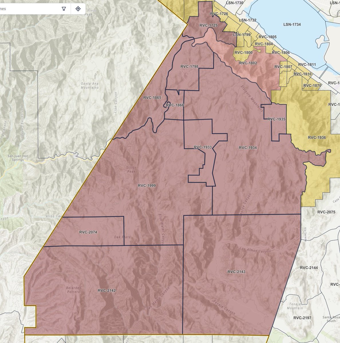
1 週 前An additional evacuation area has been upgraded to an evacuation ORDER:
Earthquake of magnitude 5.0 - South Sandwich Islands region
3ND ALARM BRUSH FIRE FS78 245th St. W. / W. Aqueduct Rd. Fairmont LACoFD units are on scene of a brush fire approximately 300 acres in light to medium fuel
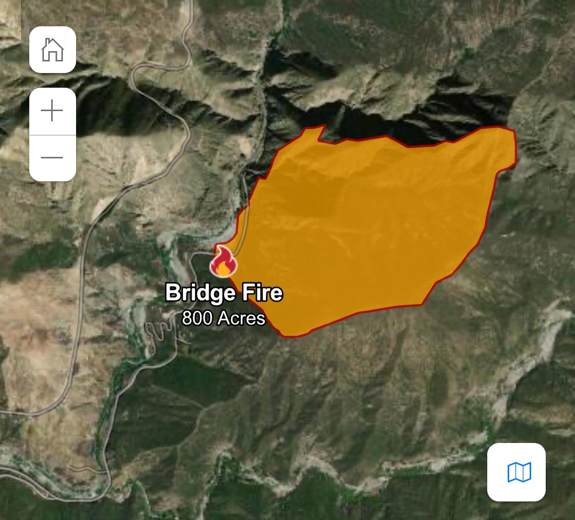
BridgeFire in Los Angeles County grows to over 4,100 acres with no containment
 1 週 前
1 週 前Fairmount,ca: 904B(brush fire) 245th Street w and Aqueduct RD. The fire is now 60 acres, helicopters and fixed wing resources have been requested. Fire resources are requesting expedited law enforcement shutdown of the 138.2nd Alarm requested
LAFD Alert- SepulvedaBasin Brush Fire 16900 W Victory Bl FS100; Firefighters are on scene near Victory Blvd & Balboa Blvd battling approximately 2 acres of grass and brush in the Sepulveda Basin with approx 7mph winds
 1 週 前
1 週 前BoylesFire via Lake County FPD. -Fire is 50% contained -15-20 engines remain committed-Evacuation orders in place for a min. of 2 more days. Before repopulation, the fire must be completely out, damaged PG&E infrastructure must be secured & hazardous materials removed
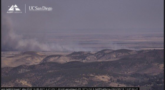
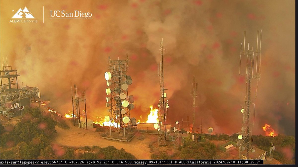
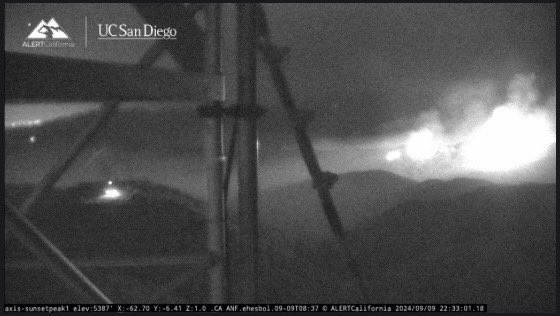
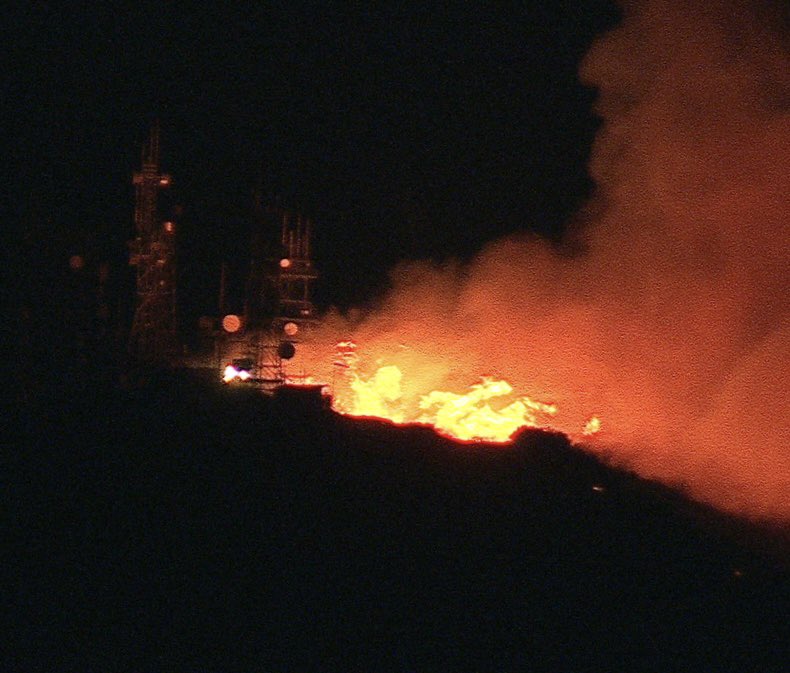
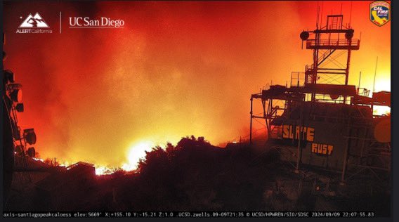
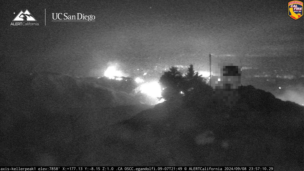
A webcam captured its own destruction as the Airport Fire engulfed the weather tower on Santiago Peak in the Santa Ana Mountains
Earthquake of magnitude 5.0 - 55 km NE of Hihifo, Tonga
Active Vegetation Fire incident reported in, Los Angeles.
 1 週 前
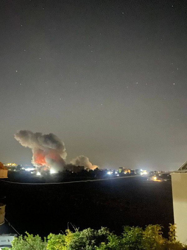
1 週 前AirportFire SantiagoPeak Fire is at the towers at this point. Fire behavior is incredible
Active Vegetation Fire incident reported in Elysian Park, Los Angeles
 1 週 前
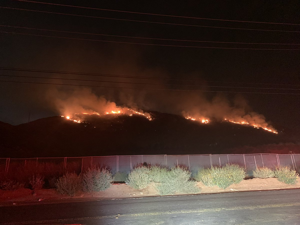
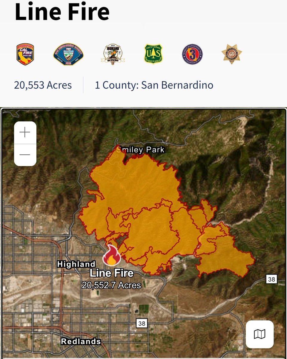
1 週 前Line Fire now threatening 65,000 homes in San Bernardino County
Earthquake of magnitude 4.7 - South Sandwich Islands region
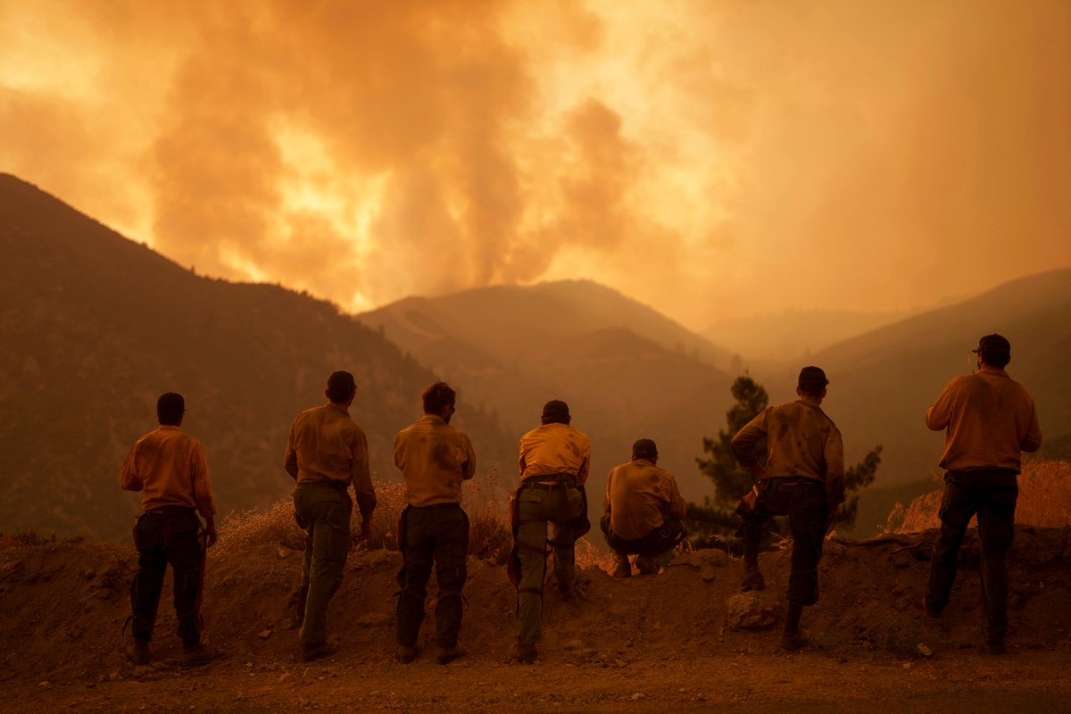
The AirportFire has burned 9,333 acres in Orange County
 1 週 前
1 週 前Airport Fire burning in Trabuco Canyon grows roughly 9,000 acres
After sparking just two days ago, the wildfire burning in Orange County's Trabuco Canyon has now scorched more than 8,500 acres while remaining 0% contained
The fire is at approximately 9,000 acres. Much of the terrain is steep and extremely difficult to access. This video shows the Quick Reaction Force (QRF) in action last night dropping up to 3,000 gallons per drop
More than 1,000 firefighters were working overnight to try extinguish the flames in the Trabuco Canyon area
Earthquake of magnitude 4.6 - Pulau Pulau Tanimbar, Indonesia
Vietnam: Typhoon Yagi death toll rises to 82
A preliminary 3.4 magnitude earthquake strikes in Lake County, USGS says
 1 週 前
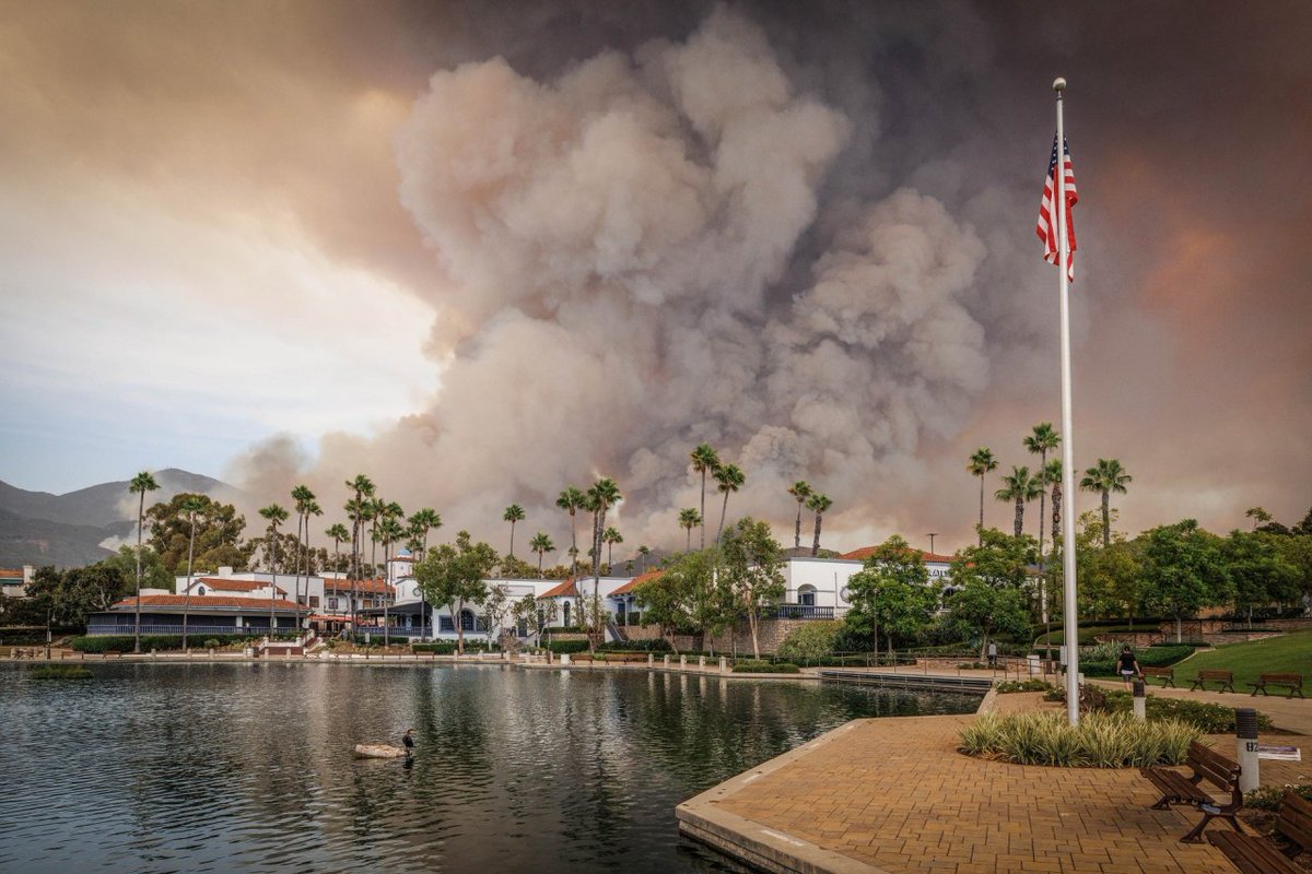
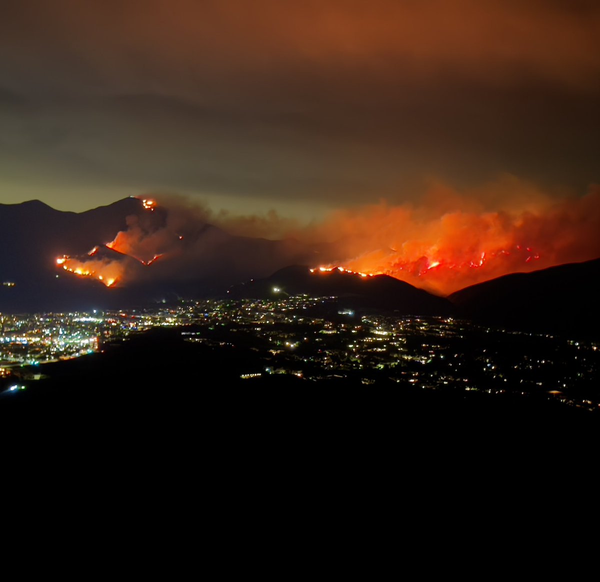
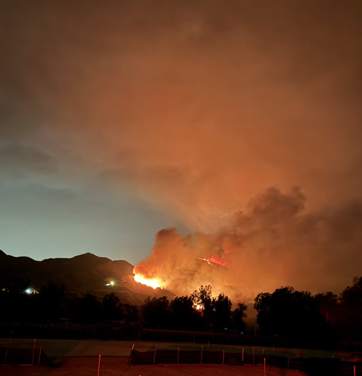
1 週 前The AirportFire is continuing to light up the sky above Trabuco Canyon, CA. @OCFireAuthority is fighting this 5,500 acre wildfire through the night, while nervous residents keep a watchful eye on the winds. Temps are hovering around 90°, as the heat wave continues
 1 週 前
1 週 前The Bridge Fire- LA County ( Angeles National forest ) 2,995 acres actively burning. Live shots as of 10:35Pm
 1 週 前
1 週 前It’s not looking good for critical infrastructure stop Santiago Peak, where the AirportFire appears to be encroaching on the invaluable antenna farm which sits at the highest elevation in OrangeCounty, CA
 1 週 前
1 週 前The Line Fire- San Bernardino county - San Bernardino National Forest 25,807.6 acres actively burning.
 1 週 前
1 週 前The Airport Fire- Orange County- Trabuco Canyon. 5,431.7 acres actively burning with Zero containment.
 1 週 前
1 週 前BridgeFire Evening Units remain engaged in suppression activity. Firefighters deployed and patrolling Mt Baldy and surrounding areas. BridgeFire. Today fire is currently 2,995 acres with 0% containment.
 1 週 前
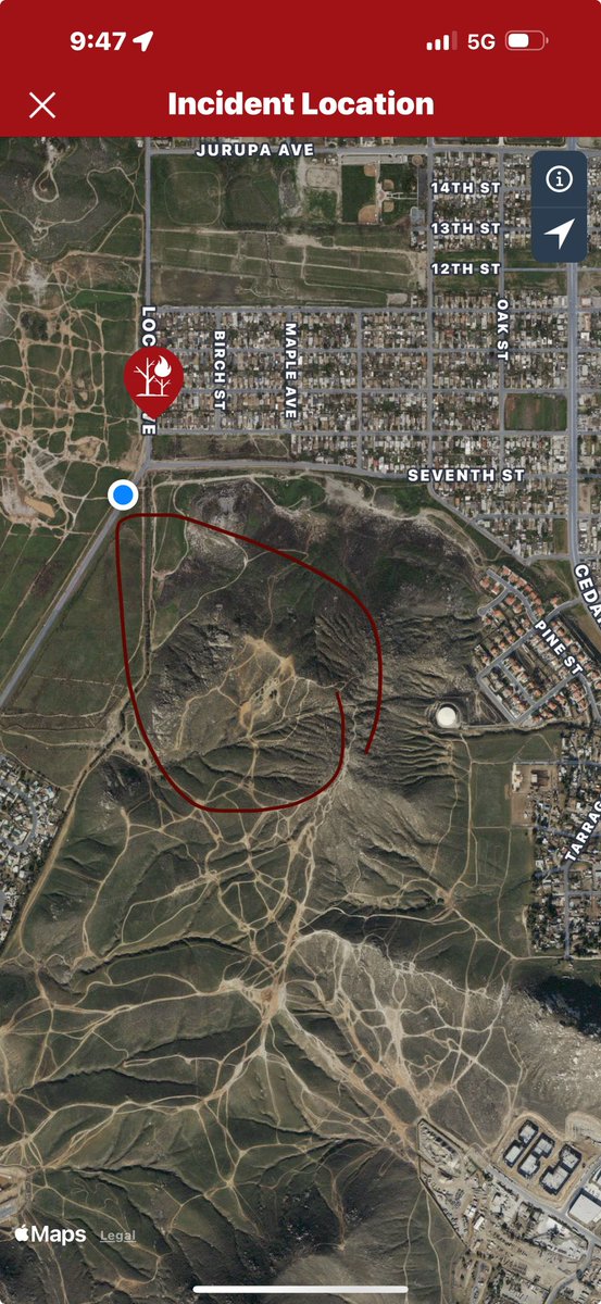
1 週 前BCoFD on scene VEGETATION FIRE 18100 block 8th St 10 Acres in light fuel with MROS on the slope. No immediate structure threat. 2nd-Alarm enroute. BC121 is Jurupa IC
 1 週 前
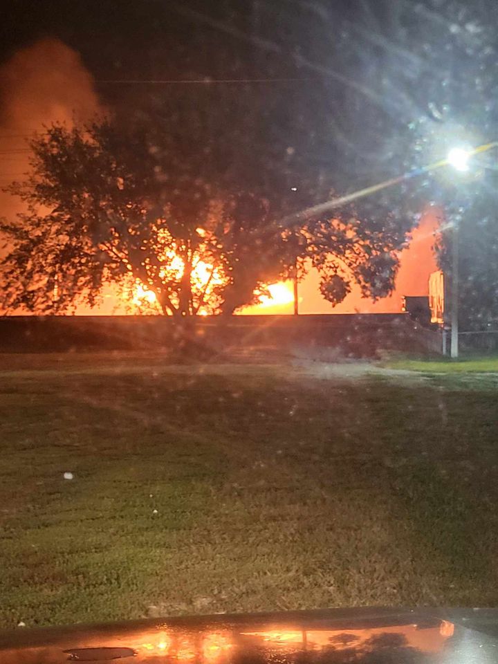
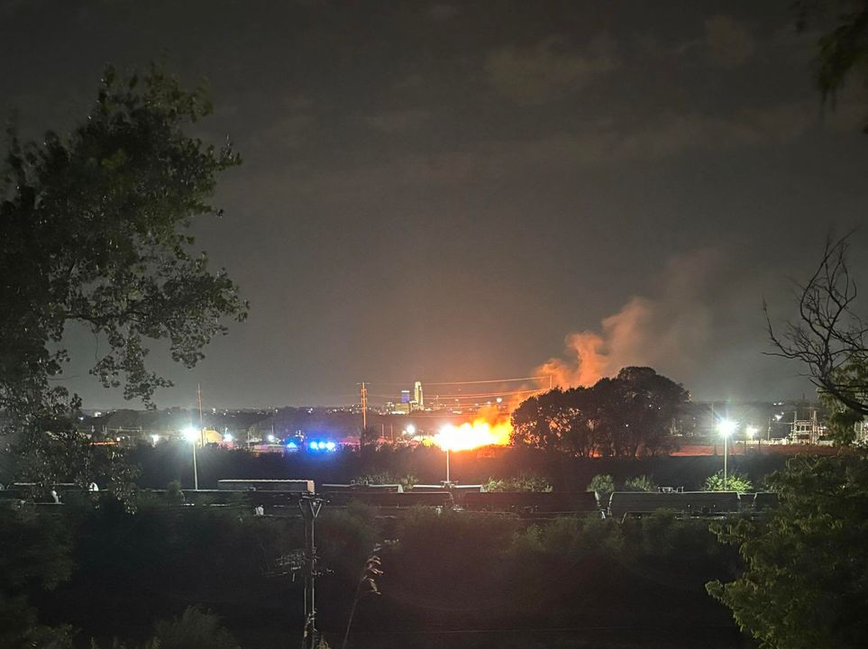
1 週 前Grass/Weed Fire/PhotosArea /Location: 1400 Block of N. 15thResponding: Council Bluffs Police
 1 週 前
1 週 前Grass/Weed Fire/PhotosArea /Location: 1400 Block of N. 15th Responding: Council Bluffs Police, CBFD
 1 週 前
1 週 前the fire is at an estimated 5,432 acres. Firefighters will continue their work throughout the night.
 1 週 前
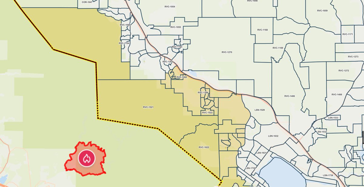
1 週 前Additional zones have been placed under evacuation warning: orth of Ortega Highway
South of Bedford Motor Way
West Interstate 15
East of Orange County Line. A care and reception center has been set up at Santiago High School located at 1395 E Foothill Pkwy, Corona, Ca. Animals may also be brought to the Jurupa Valley Animal Shelter 6851 Van Buren Blvd, Jurupa Valley, Ca.
 1 週 前
1 週 前2nd alarm vegetation fire Crestmore
Earthquake of magnitude 4.8 - 70 km NNW of Pante Makasar, Timor Leste
As of Monday evening, the AirportFire in the Trabuco Canyon area in Orange County grew to more than 2,000 acres
Earthquake of magnitude 5.0 - Kermadec Islands region
Earthquake of magnitude 4.7 - 74 km SSW of Kokopo, Papua New Guinea
Earthquake of magnitude 4.7 - 61 km ENE of Wainui, New Zealand
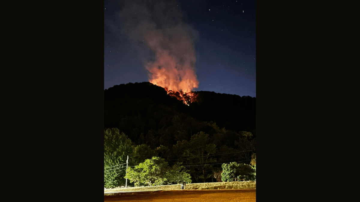 1 週 前
1 週 前A brush fire is burning across a rural part of Kanawha County Monday night
Earthquake of magnitude 4.6 - South Sandwich Islands region
Earthquake of magnitude 5.0 - south of the Fiji Islands
Earthquake of magnitude 5.4 - 183 km SE of Sarangani, Philippines
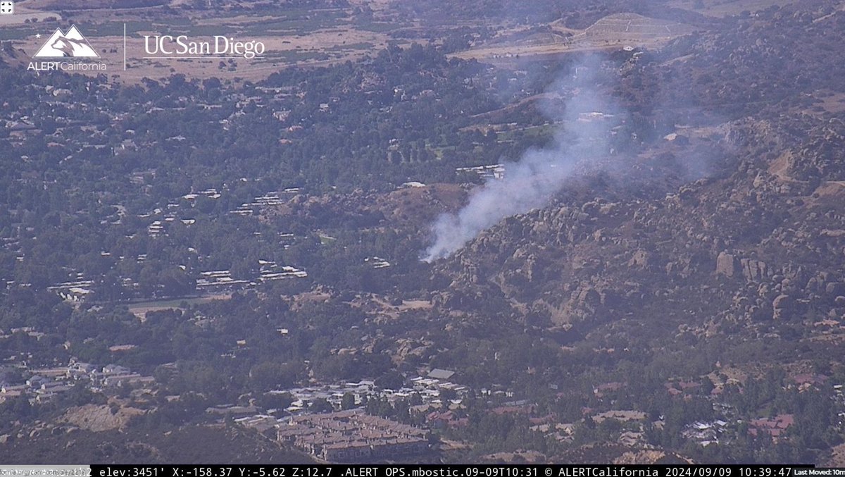
Active Vegetation Fire incident reported in Chatsworth, Los Angeles
Chatsworth. Brush fire. Germain St and Larwin. Comms Plan: Command V-1. Primary Tac VFIRE 22. Secondary Tac VFIRE 23. A/G LACo A/G. Victor 136.025
 1 週 前
1 週 前Chatsworth. Brush fire. Germain St and Larwin
 1 週 前
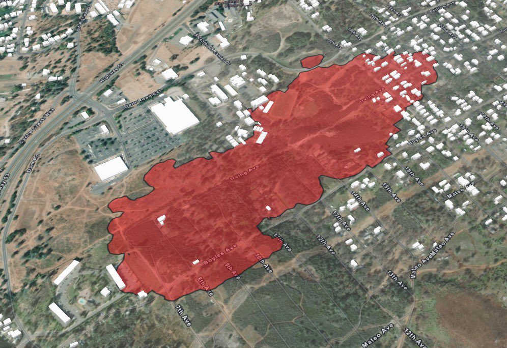
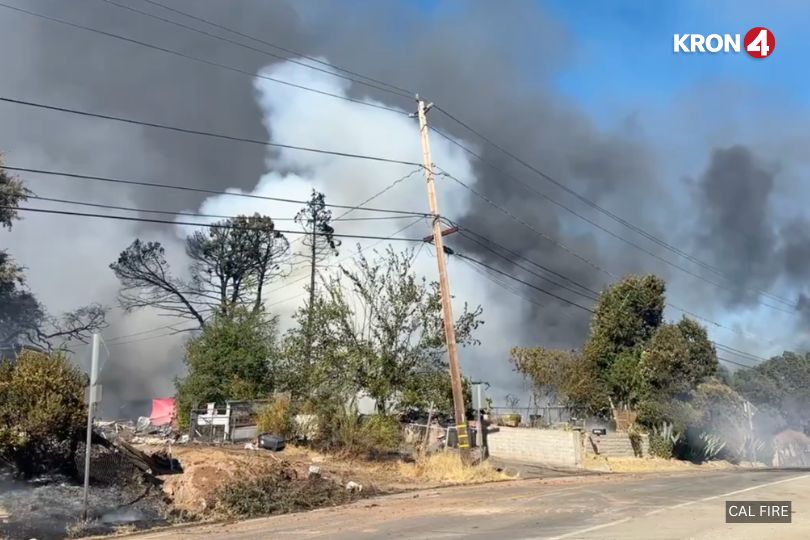
1 週 前The Boyles Fire is 30% contained as of Monday morning after burning 76 acres in Lake County, according to Cal Fire
Earthquake of magnitude 5.5 - central East Pacific Rise
The Boyles Fire, which forced thousands out of their homes and destroyed several structures in Lake County, has burned 76 acres and is 30% contained, Cal Fire says
The Wapiti Fire has grown beyond 120,000 acres, but a change in forecast this week could bring some much needed relief to firefighters
Earthquake of magnitude 4.8 - 216 km S of Kokopo, Papua New Guinea
2.6 magnitude earthquake. 5 mi from YorbaLinda, CA, United States
Earthquake of magnitude 5.0 - Kermadec Islands region
Earthquake of magnitude 4.9 - 137 km E of ‘Ohonua, Tonga
Earthquake of magnitude 4.6 - 90 km ENE of Kainantu, Papua New Guinea
Earthquake of magnitude 4.8 - 237 km NNE of Hicks Bay, New Zealand
 1 週 前
1 週 前Ships cannot move along the Don in the Rostov region due to shallowing of the river
 1 週 前
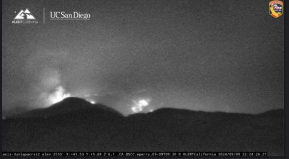
1 週 前Linefire still shining Bright as midnight is here. This free continues to remain active over night cafire wildfire
 1 週 前
1 週 前LineFire Highland, Southern California in San Bernardino County. 20,553 acres burnt. More than 36,000 homes and structures threatened. 0% containment
 1 週 前
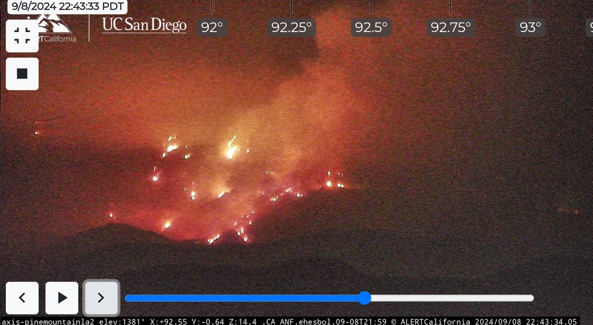
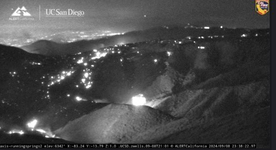
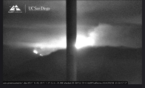
1 週 前BridgeFire view from Pine Mountain cam.
 1 週 前
1 週 前Fire Watch 51 has the BridgeFire mapped at 820 acres.There were 2 helicopters dropping water but they had to leave because visibility was too low.A 30x30 spot fire was reported on Shoe Maker Rd.The BridgeFire was estimated at 800 aircraft is over the fire
 1 週 前
1 週 前The Line Fire- San Bernardino county - San Bernardino National Forest 20,533 acres actively burning.
 1 週 前
1 週 前The Bridge Fire- LA County ( Angeles National forest ) 820 acres actively burning.
Earthquake of magnitude 4.8 - 109 km S of Yudomari, Japan
Earthquake of magnitude 5.0 - Mid-Indian Ridge
The LineFire is now 20,553 acres, 0% containment. There are currently 36,328 structures threatened. Governor Newsom has proclaimed a State of Emergency in San Bernardino County, securing federal assistance to support response to the Line Fire.
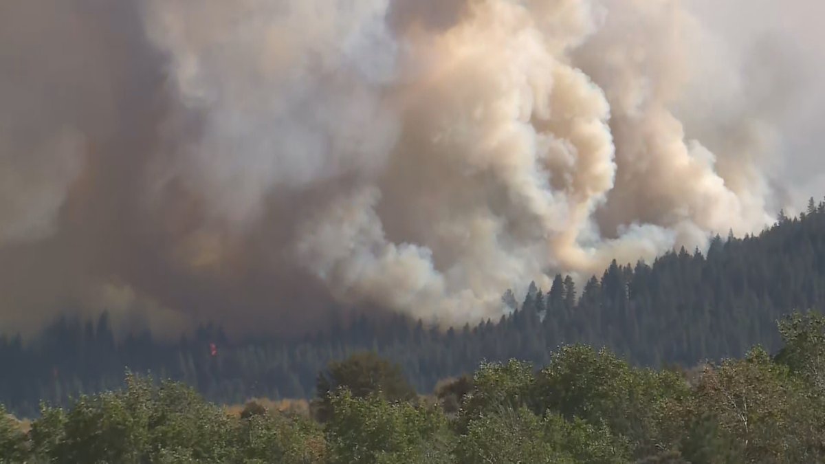
Rice2Fire. The fire has spread to 5 to 10 acres and is moving slowly, holding at a ridge. There is no current threat to structures
Rice2Fire The fire has spread to 5 to 10 acres and is moving slowly, holding at a ridge. There is no current threat to structures
Dozens of acres are burning in a wildfire in Clearlake, prompting mandatory evacuations as the fast-moving fire threatens structures
 1 週 前
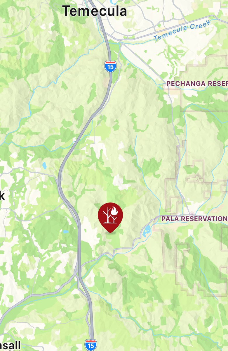
1 週 前@CALFIRESANDIEGO is at scene of a vegetation fire north of Highway 76 near Rice Canyon Road in the community of Pala Mesa. The fire is currently one acre with a slow rate of spread and has the potential to grow to ten acres.
BridgeFire Wildfire has increased to approximately 800 acres with 0% containment. Evacuation: East Fork communities of Camp Williams & River Community Road Closures: HWY 39, East Fork Rd, Glendora Mtn Rd, and Glendora Ridge Rd
Crews are on scene of a vegetation fire in the area of the 35000 block of Rice Canyon Road in Fallbrook
Davis Fire News ReleaseSunday, September 8, 2024 @ 7 p.m.Fire Information: Davis Fire is estimated to be approximately 6,500 acres and zero percent contained. The fire started in the area of Davis Creek Regional Park, located in Washoe Valley
 1 週 前
1 週 前Truckee Meadows Fire and Rescue says the DavisFire has now burned an estimated 6,500 acres and is 0% contained as of Sunday evening. Officials are expected to release more details shortly
The BoylesFire burning in Clearlake is 76 acres and 10% contained. There are approximately 30 structures involved with fire and around 4,000 residents displaced in the evacuation zones (CLE-E148, CLE-E157). CAL FIRE remains an assisting agency to the Lake County FPD
Visitors evacuated from Angeles National Forest as BridgeFire grows to more than 92 acres north of Azusa
BoylesFire in Lake County has burned about 76 acres and about 30 structures involved, Cal Fire says
Earthquake of magnitude 5.2 - 18 km ENE of Ambunti, Papua New Guinea